Outing, Minnesota
Outing is an unincorporated community in Crooked Lake Township, Cass County, Minnesota, United States, near Emily. It is situated between North Roosevelt Lake, South Roosevelt Lake, and Lawrence Lake.
Outing | |
|---|---|
 Outing Location of the community of Outing within Crooked Lake Township, Cass County  Outing Outing (the United States) | |
| Coordinates: 46°49′14″N 93°56′53″W | |
| Country | United States |
| State | Minnesota |
| County | Cass |
| Township | Crooked Lake Township |
| Elevation | 1,316 ft (401 m) |
| Time zone | UTC-6 (Central (CST)) |
| • Summer (DST) | UTC-5 (CDT) |
| ZIP code | 56662 |
| Area code(s) | 218 |
| GNIS feature ID | 657706[1] |
The community is located between Crosby and Remer near the junction of State Highway 6 (MN 6) and Cass County Road 58.
The Land O'Lakes State Forest and the Clint Converse campground on Washburn Lake are both nearby.
It is part of the Brainerd Micropolitan Statistical Area.
Local volunteers Sarah Fairbanks and Jamie Prax upgraded the storm sirens for the community of Outing in November 2007.[2]
References
- "Outing, Minnesota". Geographic Names Information System. United States Geological Survey.
- "Outing, MN – History, Chamber of Commerce". Retrieved March 4, 2014.
External links
Municipalities and communities of Cass County, Minnesota, United States | ||
|---|---|---|
| Cities | 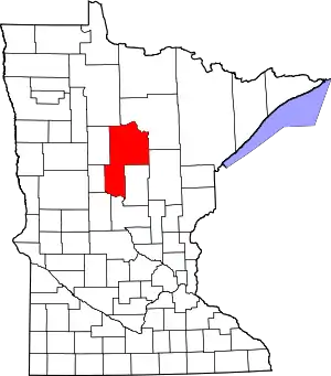 Map of Minnesota highlighting Cass County | |
| Townships |
| |
| Unorganized territories | ||
| CDP | ||
| Unincorporated communities | ||
| Indian reservation | ||
| Ghost town | ||
| Footnotes | ‡This populated place also has portions in an adjacent county or counties | |
| ||
This article is issued from Wikipedia. The text is licensed under Creative Commons - Attribution - Sharealike. Additional terms may apply for the media files.