Reed, Portland, Oregon
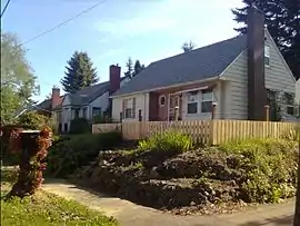
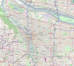
The Reed neighborhood of Portland, Oregon is in the southeast section of the city, just north of the campus of Reed College. The neighborhood is bounded on the west by railroad tracks, on the north by SE Holgate Ave., on the east by SE 39th Ave., and on the south by SE Reedway, SE Steele, and a line south of SE Insley and SE Harold Ct. Tucker Maxon School is located in the Reed Neighborhood, and the Reed Neighborhood Association sometimes uses the school to hold meetings.
Reed | |
|---|---|
Neighborhood | |
 | |
 Reed | |
| Coordinates: 45°29′17″N 122°37′57″WPDF map | |
| Country | United States |
| State | Oregon |
| City | Portland |
| Government | |
| • Association | Reed Neighborhood Association |
| • Coalition | Southeast Uplift Neighborhood Program |
| Area | |
| • Total | 0.43 sq mi (1.11 km2) |
| Population (2000)[1] | |
| • Total | 3,141 |
| • Density | 7,300/sq mi (2,800/km2) |
| Housing | |
| • No. of households | 1648 |
| • Occupancy rate | 95% occupied |
| • Owner-occupied | 596 households (36%) |
| • Renting | 1052 households (64%) |
| • Avg. household size | 1.91 persons |
It was the site of Lambert Gardens, replaced by housing in 1968.
References
External links
- "Reed Neighborhood Association". Archived from the original on August 17, 2007. Retrieved April 22, 2018.
- Southeast Uplift Neighborhood Program
- Reed Street Tree Inventory Report
This article is issued from Wikipedia. The text is licensed under Creative Commons - Attribution - Sharealike. Additional terms may apply for the media files.