Russell, Portland, Oregon
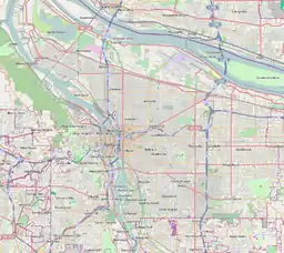
Russell is a neighborhood in the northeast section of Portland, Oregon, United States. Russell lies between Interstate 84 on the north and NE Halsey St. on the south, and between NE 122nd Ave on the west and NE 142nd Ave. on the east. It borders Argay on the north, Wilkes on the east, Hazelwood on the south, and Parkrose Heights on the west.
Russell | |
|---|---|
Neighborhood | |
 Russell | |
| Coordinates: 45°32′14″N 122°31′38″WPDF map | |
| Country | United States |
| State | Oregon |
| City | Portland |
| Government | |
| • Association | Russell Neighborhood Association |
| • Coalition | East Portland Neighborhood Office |
| Population | |
| • Total | 3,175 |
John Luby Park (1985) is located here.
References
- "Russell". PortlandMaps. City of Portland. Retrieved April 23, 2020.
External links
- Mid-county Memo (local newspaper)
- PDF Map of Russell
- Russell Street Tree Inventory Report
This article is issued from Wikipedia. The text is licensed under Creative Commons - Attribution - Sharealike. Additional terms may apply for the media files.