Wirt, Minnesota
Wirt is an unincorporated community in Wirt Township, Itasca County, Minnesota, United States; located within the Chippewa National Forest.
Wirt | |
|---|---|
 Wirt Location of the community of Wirt within Wirt Township, Itasca County  Wirt Wirt (the United States) | |
| Coordinates: 47°43′50″N 93°57′36″W | |
| Country | United States |
| State | Minnesota |
| County | Itasca |
| Township | Wirt Township |
| Elevation | 1,332 ft (406 m) |
| Population | |
| • Total | 40 |
| Time zone | UTC-6 (Central (CST)) |
| • Summer (DST) | UTC-5 (CDT) |
| ZIP code | 56688 |
| Area code(s) | 218 |
| GNIS feature ID | 659046[1] |
The community is located 16 miles northwest of Talmoon at the junction of Itasca County Roads 29 and 31. County Road 14 is also nearby.
Nearby places include Dora Lake, Max, Spring Lake, and Alvwood. Wirt is located 17 miles west of Bigfork; and 25 miles southeast of Northome. Wirt is 16 miles east of Alvwood; and 36 miles north of Deer River.
The community of Wirt is located within Wirt Township (population 106). The Big Fork River flows through the community.
Wirt has a post office with ZIP code 56688.[2]
References
- "US Board on Geographic Names". United States Geological Survey. 2007-10-25. Retrieved 2008-01-31.
- ZIP Code Lookup
- Rand McNally Road Atlas – 2007 edition – Minnesota entry
- Official State of Minnesota Highway Map – 2011/2012 edition
- Mn/DOT map of Itasca County – Sheet 2 – 2011 edition
Municipalities and communities of Itasca County, Minnesota, United States | ||
|---|---|---|
| Cities | 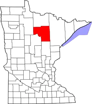 Map of Minnesota highlighting Itasca County | |
| Townships |
| |
| Unorganized territories | ||
| CDPs | ||
| Unincorporated communities | ||
| Indian reservations | ||
| Footnotes | ‡This populated place also has portions in an adjacent county or counties | |
| ||
This article is issued from Wikipedia. The text is licensed under Creative Commons - Attribution - Sharealike. Additional terms may apply for the media files.