Yuzhny Island
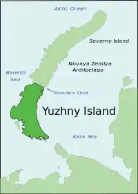
Yuzhny (Russian: Южный, lit. southern) is the southern island of the Novaya Zemlya archipelago, lying north of Russia. It has an area of 33,275 square kilometres (12,800 sq mi), which while smaller than the northern island of Severny, makes it one of the largest islands in the world. It is separated from Severny Island by the narrow Matochkin Strait, which is covered with ice most of the year. West of Yuzhny Island lies the Barents Sea, and to the east the Kara Sea.
| Native name: Южный | |
|---|---|
 | |
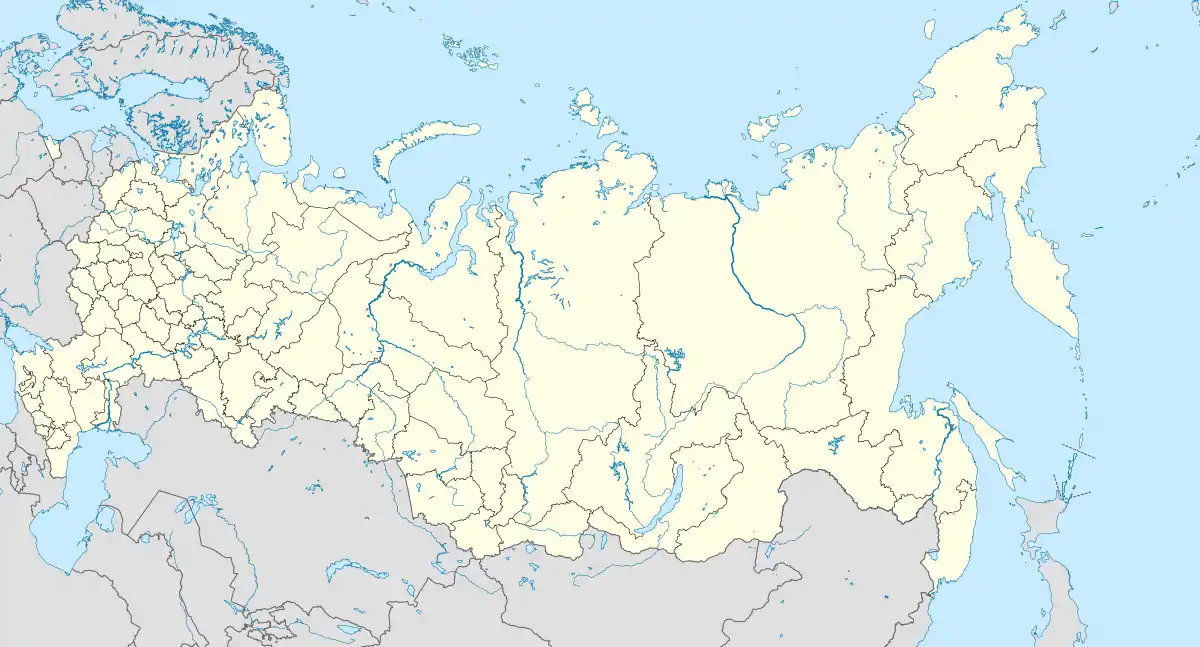
 Yuzhny Yuzhny Island (Russia) | |
| Geography | |
| Location | Arkhangelsk Oblast, Russia |
| Coordinates | 72°N 54°E |
| Archipelago | Novaya Zemlya |
| Area | 33,275 km2 (12,848 sq mi) |
| Area rank | 41st |
| Highest elevation | 1,291 m (4236 ft) |
| Highest point | Mount Pervosvotrennaya |
| Administration | |
| Oblast | Arkhangelsk Oblast |
| Largest settlement | Belushya Guba[1] |
Originally home to the Nenets people, the island was largely evacuated in the 1950s to make way for nuclear weapons testing.[2]
Ecology
Yuzhny Island is known for its large seabird population. The island's vegetation largely consists of tundra.
See also
References
- "Novaya Zemlya: The Extreme of Europe". Google Sightseeing. May 2011. Retrieved February 12, 2020.
- "Nuclear Explosions in the USSR: The North Test Site Reference Material" (PDF). The Division of Nuclear Safety and Security: International Atomic Energy Agency. December 2004. Retrieved March 14, 2012.
This article is issued from Wikipedia. The text is licensed under Creative Commons - Attribution - Sharealike. Additional terms may apply for the media files.