Abadla District
Abadla is a district in Béchar Province, Algeria. It was named after its capital, Abadla. According to the 2008 census, the total population of the district was 21,133 inhabitants.[2] Most of the population of the region is clustered around the Oued Guir, the main water source for the district. The N6 national highway runs through the district on its way from Béchar to Adrar; the N50 branches off near Abadla, leading to Tindouf.
Abadla District
دائرة العبادلة | |
|---|---|
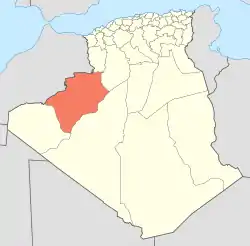 Map of Algeria highlighting Béchar Province | |
| Coordinates: 31°1′N 2°44′E | |
| Country | |
| Province | Béchar |
| District seat | Abadla |
| Area | |
| • Total | 12,100 km2 (4,700 sq mi) |
| Population (1998)[2] | |
| • Total | 18,648 |
| • Density | 1.5/km2 (4.0/sq mi) |
| Time zone | UTC+01 (CET) |
| Municipalities | 3 |
Municipalities
References
- "Dairas et Communes" (in French). Site Officiel de la Wilaya de Béchar. Archived from the original on 16 February 2013. Retrieved 19 February 2013.
- "Population: Béchar Wilaya" (PDF) (in French). Office National des Statistiques Algérie. Archived from the original (PDF) on 16 May 2013. Retrieved 13 February 2013.
Capital: Béchar | ||
| Béchar District | .svg.png.webp) | |
| Abadla District | ||
| Béni Abbès District | ||
| Béni Ounif District | ||
| El Ouata District | ||
| Igli District | ||
| Kénadsa District | ||
| Kerzaz District | ||
| Lahmar District | ||
| Ouled Khodeïr District | ||
| Tabelbala District | ||
| Taghit District | ||
This article is issued from Wikipedia. The text is licensed under Creative Commons - Attribution - Sharealike. Additional terms may apply for the media files.