Bell Mountain (Idaho)
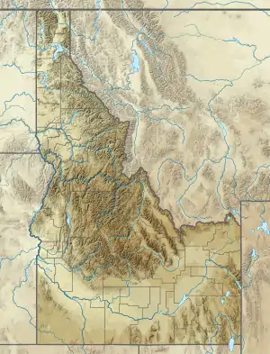
Bell Mountain, at 11,612 feet (3,539 m) above sea level is the second highest peak in the Lemhi Range of Idaho. The peak is the highest point in Lemhi County and located 0.2 mi (0.32 km) north of the border with Butte County. The peak is located on the border of Caribou-Targhee National Forest and Salmon-Challis National Forest. It is about 9.5 mi (15.3 km) northwest of Diamond Peak. It is the 37th highest peak in Idaho.[3][4]
| Bell Mountain | |
|---|---|
 Bell Mountain Lemhi County, Idaho, U.S. | |
| Highest point | |
| Elevation | 11,617 ft (3,541 m) NAVD 88[1] |
| Prominence | 1,732 ft (528 m) [1] |
| Parent peak | Diamond Peak |
| Coordinates | 44°14′12″N 113°11′43″W [2] |
| Geography | |
| Location | Lemhi County, Idaho, U.S. |
| Parent range | Lemhi Range |
| Topo map | USGS Bell Mountain |
| Climbing | |
| Easiest route | Scramble, class 3 |
References
- "Bell Mountain, Idaho". Peakbagger.com. Retrieved 2013-01-14.
- "Bell Mountain". Geographic Names Information System. United States Geological Survey. Retrieved January 2, 2013.
- "The 100 Highest Peaks". Idaho: A Climbing Guide. Retrieved January 2, 2013.
- "Bell Mountain". SummitPost.org. Retrieved January 2, 2013.
This article is issued from Wikipedia. The text is licensed under Creative Commons - Attribution - Sharealike. Additional terms may apply for the media files.