Dollarhide Mountain
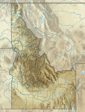
Dollarhide Mountain, at 9,301 feet (2,835 m) above sea level is a peak in the Smoky Mountains of Idaho. The peak is located in Sawtooth National Forest on the border of Blaine and Camas counties. It is located about 4.2 mi (6.8 km) south of Baker Peak. Forest road 227 travels near the peak over a road pass known as Dollarhide Summit. No roads or trails go to the summit.[2][3][4]
| Dollarhide Mountain | |
|---|---|
| Highest point | |
| Elevation | 9,301 ft (2,835 m) [1] |
| Prominence | 481 ft (147 m) [1] |
| Coordinates | 43°50′11″N 114°42′41″W |
| Geography | |
| Location | Blaine and Camas counties, Idaho, U.S. |
| Parent range | Smoky Mountains |
| Topo map | USGS Dollarhide Mountain |
| Climbing | |
| Easiest route | Simple scramble, class 2 |
References
- "Dollarhide Mountain". ListsOfJohn.com. Retrieved January 14, 2013.
- Sawtooth National Forest (Map) (1998 ed.). Sawtooth National Forest, U.S. Forest Service.
- "Dollarhide Mountain". SummitPost.org. Retrieved January 1, 2013.
- "Dollarhide Summit". Geographic Names Information System. United States Geological Survey. Retrieved January 1, 2013.
This article is issued from Wikipedia. The text is licensed under Creative Commons - Attribution - Sharealike. Additional terms may apply for the media files.
