Borgarfjarðarhreppur
Borgarfjarðarhreppur is a municipality in Iceland.[1] Its main settlement is Bakkagerði. It is located in the Austurland region, in the eastern part of the country, 400 km east of Reykjavík, the country's capital.[2] The average temperature is -2 ° C. The warmest month is July, at 9 ° C, and the coldest month is February, at -8 ° C.[3]
Borgarfjarðarhreppur | |
|---|---|
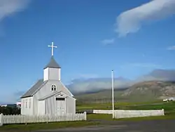 Skyline of Borgarfjarðarhreppur | |
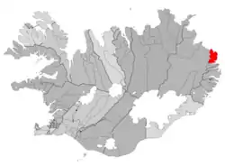 Location of Borgarfjarðarhreppur | |
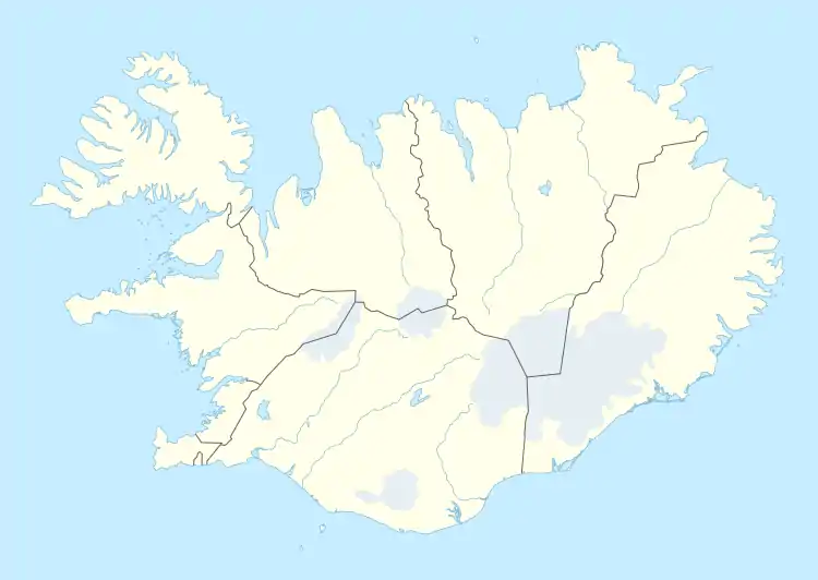 Borgarfjarðarhreppur Location of Borgarfjarðarhreppur | |
| Coordinates: 65°31′34″N 13°48′44″W | |
| Country | Iceland |
| Region | Eastern Region |
| Constituency | Northeast Constituency |
| Government | |
| • Manager | Jón Þórðarson |
| Area | |
| • Total | 441 km2 (170 sq mi) |
| Population | |
| • Total | 134 |
| • Density | 0.30/km2 (0.8/sq mi) |
| Postal code(s) | 720 |
| Municipal number | 7509 |
| Website | borgarfjordureystri |
References
- Borgarfjarðarhreppur on Geonames.org (cc-by); post updated 2014-12-03; database download sa 2016-08-15
- Peel, M C; Finlayson, B L. "Updated world map of the Köppen-Geiger climate classification". Hydrology and Earth System Sciences 11: 1633-1644. doi:10.5194/hess-11-1633-2007, http://www.hydrol-earth-syst-sci.net/11/1633/2007/hess-11-1633-2007.html. Gikuha sa 30 Enero 2016.
- NASA Earth Observations Data Set Index. NASA.
This article is issued from Wikipedia. The text is licensed under Creative Commons - Attribution - Sharealike. Additional terms may apply for the media files.