Skagafjörður (municipality)
Skagafjörður is a municipality that covers most of the land area of the region around the fjord with the same name (see Skagafjörður for details on the region) in northern Iceland.
Sveitarfélagið Skagafjörður | |
|---|---|
 Skyline of Sveitarfélagið Skagafjörður | |
 Coat of arms | |
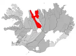 Location of Sveitarfélagið Skagafjörður | |
 Sveitarfélagið Skagafjörður Location of Sveitarfélagið Skagafjörður | |
| Coordinates: 65°45′N 19°38′W | |
| Country | Iceland |
| Region | Northwestern Region |
| Constituency | Northwest Constituency |
| Government | |
| • Manager | Ásta Björg Pálmadóttir |
| Area | |
| • Total | 4,180 km2 (1,610 sq mi) |
| Population | |
| • Total | 3,978 |
| • Density | 0.95/km2 (2.5/sq mi) |
| Postal code(s) | 550, 551, 560, 565, 566, 570 |
| Municipal number | 5200 |
| Website | skagafjordur |
Overview
The municipality was created in 1998 when 11 out of the 12 municipalities in Skagafjörður held votes on whether they should merge or not. The merge was approved in all the municipalities that held the vote. Akrahreppur was the only municipality in Skagafjörður that did not participate.
The merge joined the town of Sauðárkrókur, the villages of Hofsós and Varmahlíð and several rural districts. It also includes the historic cathedral site of Hólar which is the site of a growing university today.
Twin towns – sister cities
Skagafjörður is twinned with:[1]
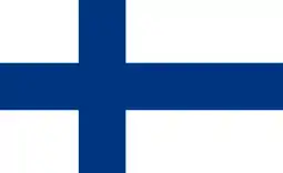 Espoo, Finland
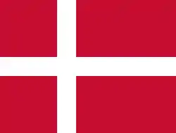 Køge, Denmark
 Kongsberg, Norway
 Kristianstad, Sweden
This article is issued from Wikipedia. The text is licensed under Creative Commons - Attribution - Sharealike. Additional terms may apply for the media files.