Cadder, Glasgow
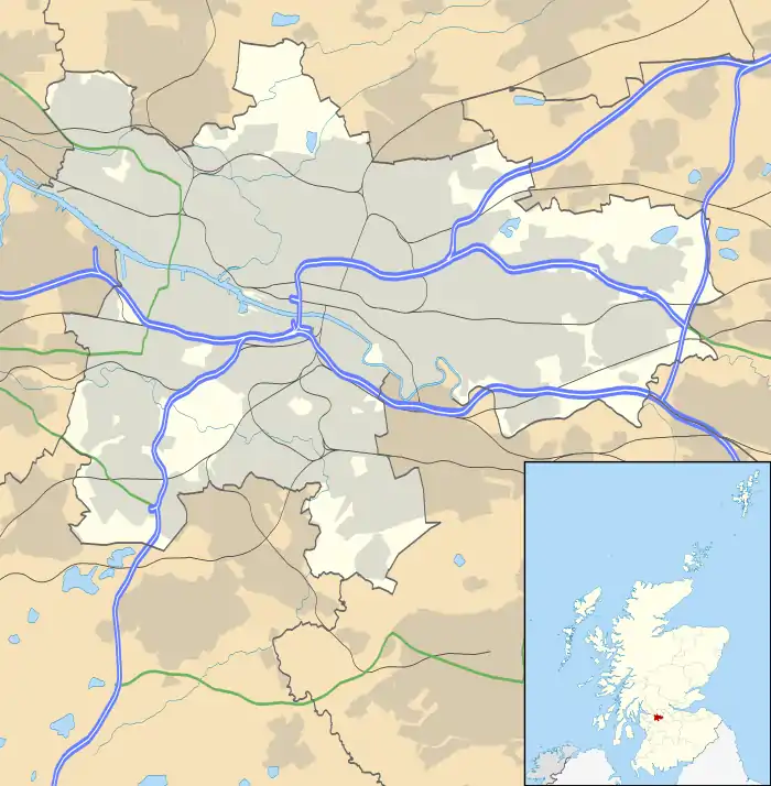
Cadder (pronounced Cawder) is a council housing scheme in Glasgow, Scotland. Within the Canal ward under Glasgow City Council but historically more closely associated with the Maryhill district, it is located 4 kilometres (2 mi) north of Glasgow city centre, sited on the route of the Forth and Clyde Canal. Cadder was built in the early 1950s and contains Lambhill cemetery and crematorium, Western Necropolis and St. Kentigern's RC Cemetery.
Cadder
| |
|---|---|
.jpg.webp) Tenement housing in the process of refurbishment on Skirsa Street (2012) | |
 Cadder Location within Glasgow | |
| OS grid reference | NS577695 |
| Council area | |
| Country | Scotland |
| Sovereign state | United Kingdom |
| Post town | GLASGOW |
| Postcode district | G23 5 |
| Police | Scotland |
| Fire | Scottish |
| Ambulance | Scottish |
| UK Parliament | |
| Scottish Parliament | |
This Cadder is often confused with Cadder (part of Bishopbriggs) which is about 3 miles (5 km) to the north-west along the canal.
There are few amenities in Cadder, however there are local shops located on Skirsa Street, and on Cadder Road. Cadder also has a primary school; Cadder Primary School. There was also St. Agnes' RC Primary School, however this was closed. There is also Cadder Community Education Centre.
Cadder has transport links, but they are limited, in contrast to neighbourhoods like Summerston. Cadder is served by First Glasgow bus services. No. 7/7A (Formerly No. 54), and No. 8/8A. There is also a train station on the western edge of Cadder, which is on by the Maryhill Line. However at the time of the railway line's opening in 1993 it was named "Lambhill", despite being some distance from the Lambhill neighbourhood, which itself is physically closer to Possilpark & Parkhouse railway station. This station was renamed Gilshochill railway station in May 1998.
Housing is a mixture of tenements and semi detached housing, most of which is privately owned or rented by Cadder Housing Association.