Woodlands, Glasgow
Woodlands
| |
|---|---|
 Woodlands Location within Glasgow | |
| OS grid reference | NS576666 |
| Council area | |
| Lieutenancy area |
|
| Country | Scotland |
| Sovereign state | United Kingdom |
| Post town | GLASGOW |
| Postcode district | G3 G4 |
| Dialling code | 0141 |
| Police | Scotland |
| Fire | Scottish |
| Ambulance | Scottish |
| UK Parliament | |
| Scottish Parliament | |

Overview
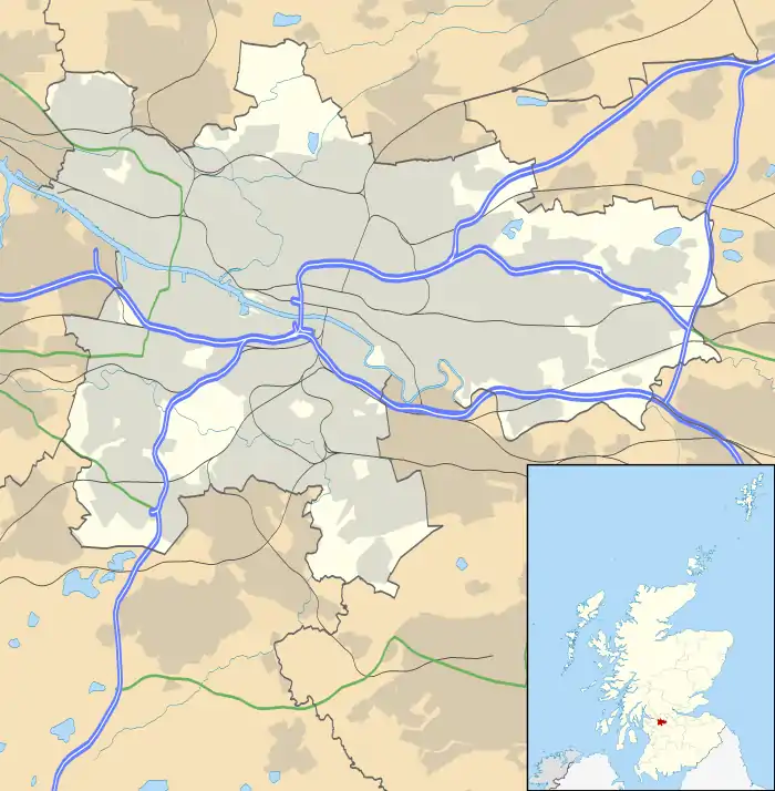
Woodlands is a residential area in the west-end of Glasgow, Scotland. It is located east of Hillhead, south of Woodside, and north of Park Circus. Kelvingrove Park borders Woodlands to the south, and the M8 motorway at Charing Cross is to the east.
Woodlands has a substantial Asian minority population (primarily Muslim) as well as a large number of students as residents. The area is in the vicinity of the University of Glasgow, and the university's Education Faculty is sited within the area.
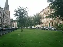
The housing stock mostly consists of blonde and red sandstone tenement housing and modern redevelopment which is also predominantly in the tenement style.
History
The area of flat land on the east bank of the River Kelvin was used as an industrial area. From at least the early 1600s, the site was the location of a watermill which processed grain.
This area was later redeveloped. In 1790, William Gillespie constructed Glasgow's first and only water driven cotton mill. Bleach and print fields would also have been located in the vicinity.
Points of interest

Woodlands is home to the Arlington Baths Club. The club is located on Arlington Street off of Woodlands road.
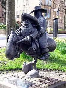
There is a statue erected in the memory of Bud Neill on the corner of Woodlands Road and Woodlands Gate.
Public Transport
Public transport includes Kelvinbridge and St George's Cross Subway stations, located respectively at the western and eastern extremes of the district, as well as numerous bus routes along Great Western and Woodlands Roads.
External links
- Glasgow West End: Woodlands (archive link, was dead)
- Woodlands conservation area appraisal