Muirend
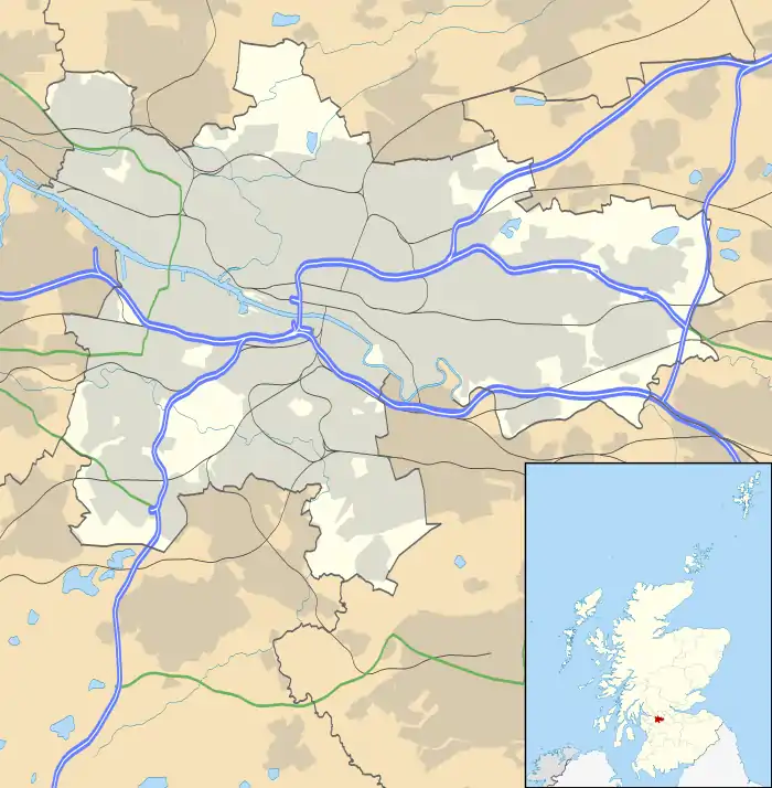
Muirend is an area on the South side of the city of Glasgow, Scotland. It is situated about 4 miles (6.5 km) south of Glasgow city centre. Muirend became extensively urbanised in the 20th century, developing into an affluent commuter suburb. In a 2014 Royal Mail survey, the G44 postcode – which includes Muirend – was rated as the most desirable area of Scotland to live in.[1] Neighbouring areas include Cathcart, Merrylee and Newlands in Glasgow, and Netherlee and Giffnock in East Renfrewshire (plus Cathcart Cemetery which forms the eastern boundary}. Some buildings that are locally associated with Muirend, including the main row of shops, as well as Hazelden Gardens and Muirend Pavilion, are technically located in Giffnock and Netherlee, in neighbouring East Renfrewshire.
Muirend
| |
|---|---|
.jpg.webp) Sandstone tenement with shops on Clarkston Road | |
| OS grid reference | NS573600 |
| Lieutenancy area |
|
| Country | Scotland |
| Sovereign state | United Kingdom |
| Post town | GLASGOW |
| Postcode district | G44 3 |
| Dialling code | 0141 |
| Police | Scotland |
| Fire | Scottish |
| Ambulance | Scottish |
| UK Parliament | |
| Scottish Parliament | |
Amenities
Muirend is largely residential in character, although there are many shops/businesses situated along Clarkston Road. These include a Sainsburys supermarket (formerly the first 'Safeway' in Scotland), newsagents, hairdressers, estate agents, cafes and many others. Adjacent to the supermarket until its closure in 2003 was the Toledo Cinema; this local landmark was the last traditional suburban picture house on the south side. Although the rest of the building was demolished to make way for residential flats, the facade of the Cinema was preserved and has been incorporated into the new development.[2]
In June 2006, Muirend acquired its first ever pub, The Bank bar/restaurant, located in the former Glasgow Savings Bank building on Clarkston Road.
There is a sports pavilion available for hire for events (located a few streets into East Renfrewshire);[3] this adjoins Braidholm rugby ground, home to Glasgow Hutchesons Aloysians RFC.[4]
Governance
Muirend is part of the City of Glasgow, one of the 32 council areas of Scotland for local government purposes. The area is split between two council wards, with the railway line forming the boundary between Newlands/Auldburn to the west and Linn to the east. The area is also covered by Cathcart and District Community Council.
Muirend is represented as part of the Glasgow South constituency in the Parliament of the United Kingdom, and the Glasgow Cathcart constituency in the Scottish Parliament.
Public transport
Muirend railway station is located off Muirend Road, just behind the supermarket. It is served by local commuter services between Glasgow Central and Neilston on the Neilston branch of the Cathcart Circle Lines. Local bus services run by First Glasgow which connect Muirend to the city centre and elsewhere are the 4/A (Knightswood to Newton Mearns or Eaglesham) and the 6 (Mountblow to East Kilbride).
References
- G44 is most desirable postcode for Scots to live in, Evening Times, 25 August 2014
- Glasgow, 380 Clarkston Road, Muirend, Cannon Cinema, Canmore
- Muirend Pavilion, East Renfrewshire Culture and Leisure
- GHA to build a world-class, all-weather pitch at Braidholm, The Offside Line, 9 August 2018
External links
| Wikimedia Commons has media related to Muirend. |
- Muirend to Cathcart illustrated guide at Scotcities
- Muirend at Gazetteer for Scotland
- Cathcart & District Community Council