Chevelon Creek
Chevelon Creek is located in the Mogollon Rim area of the state of Arizona. The closest town Heber is 18 miles away. The facilities are maintained by Apache–Sitgreaves National Forest division of the USDA Forest Service.
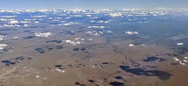
| Chevelon Creek | |
|---|---|
.jpg.webp) | |
| Location | |
| Country | United States |
| State | Arizona |
| Physical characteristics | |
| Source | |
| • elevation | 7,000 ft (2,100 m) |
| Mouth | |
• elevation | 6,400 ft (2,000 m) |
Crossings
There is a bridge at Mormon Crossing, named after the Mormon settlers who abandoned an attempt to start a community there through lack of water.[1]
Fish species
References
- Granger, Byrd H. (1957). "Early Mormon Place Names in Arizona". Western Folklore. 16 (1): 43–47. doi:10.2307/1497061. ISSN 0043-373X. JSTOR 1497061.
- Information and Education Division (2007). "Arizona Fishin' Holes". Phoenix, AZ: Arizona Game and Fish Department.
| Authority control |
|---|
This article is issued from Wikipedia. The text is licensed under Creative Commons - Attribution - Sharealike. Additional terms may apply for the media files.