Eglat Faisal
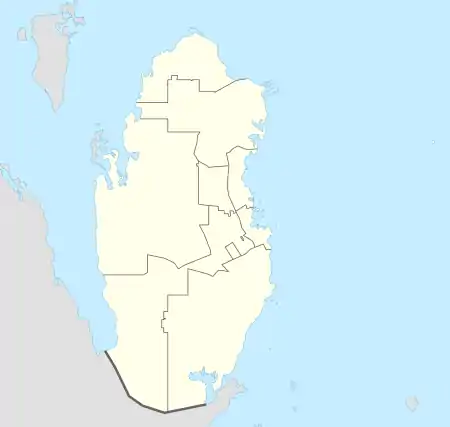
Eglat Faisal (Arabic: عقلة فيصل) is a district in south-west Qatar, located in the municipality of Al Rayyan.[3][4]
Eglat Faisal
عقلة فيصل | |
|---|---|
District | |
 Eglat Faisal | |
| Coordinates: 24.884072°N 50.877918°E[1] | |
| Country | |
| Municipality | Al Rayyan |
| Zone no. | Zone 96 |
| District no. | 705 |
| Area | |
| • Total | 17.8 km2 (6.9 sq mi) |
| Elevation | 12 m (39 ft) |
Nearby settlements include Abu Samra to the south and Umm Al Jaratheem to the north-east.[4]
Etymology
"Eglat" originates from the Arabic "oqlat", meaning "shallow well". The second part, "Faisal", is the name of the man who built the well. This well was so important that its name was extended to the entire area, which also included a farm.[4]
References
- "Eglat Faisal, Zone 96, Qatar on the Elevation Map". elevationmap.net. Retrieved 7 January 2019.
- "District Area Map". Ministry of Development Planning and Statistics. Retrieved 30 November 2019.
- "Qatar Development Atlas - Part 1" (PDF). Ministry of Development Planning and Statistics. 2010. p. 10. Retrieved 7 January 2019.
- "District map". The Centre for Geographic Information Systems of Qatar. Retrieved 7 January 2019.
Capital: Al Rayyan City | |
| Zone 51 | |
| Zone 52 | |
| Zone 53 | |
| Zone 54 | |
| Zone 55 |
|
| Zone 56 |
|
| Zone 81 | |
| Zone 83 |
|
| Zone 96 |
|
| Zone 97 | |
This article is issued from Wikipedia. The text is licensed under Creative Commons - Attribution - Sharealike. Additional terms may apply for the media files.