Umm Hawta
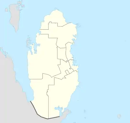
Umm Hawta (Arabic: ام حوطة; also spelled Umm Houta) is a village in southern Qatar, located in the municipality of Al Rayyan.[3][4]
Umm Hawta
Umm Ḩawţah ام حوطة | |
|---|---|
Village | |
 Umm Hawta | |
| Coordinates: 24°51′54″N 51°03′36″E[1] | |
| Country | |
| Municipality | Al Rayyan |
| Zone no. | Zone 96 |
| District no. | 712 |
| Area | |
| • Total | 14.6 km2 (5.6 sq mi) |
The village of Al Aamriya, to the south, is nearby.[4]
Qatar's armed forces operate a military installation known as Umm Hawta Camp in the area.[5]
Gallery
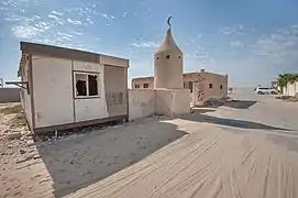 Mosque in Umm Hawtah
References
- "Umm Ḩawţah: Qatar". geographic.org. Retrieved 3 January 2019.
- "District Area Map". Ministry of Development Planning and Statistics. Retrieved 30 November 2019.
- "Qatar Development Atlas - Part 1" (PDF). Ministry of Development Planning and Statistics. 2010. p. 10. Retrieved 3 January 2019.
- "District map". The Centre for Geographic Information Systems of Qatar. Retrieved 3 January 2019.
- "قائد القوات البرية الأميرية يجتمع مع مساعد قائد الجيش الأمريكي بالقيادة المركزيّة" (in Arabic). Al Sharq. 21 January 2018. Retrieved 7 February 2019.
Capital: Al Rayyan City | |
| Zone 51 | |
| Zone 52 | |
| Zone 53 | |
| Zone 54 | |
| Zone 55 |
|
| Zone 56 |
|
| Zone 81 | |
| Zone 83 |
|
| Zone 96 |
|
| Zone 97 | |
This article is issued from Wikipedia. The text is licensed under Creative Commons - Attribution - Sharealike. Additional terms may apply for the media files.
