Rawdat Abal Heeran
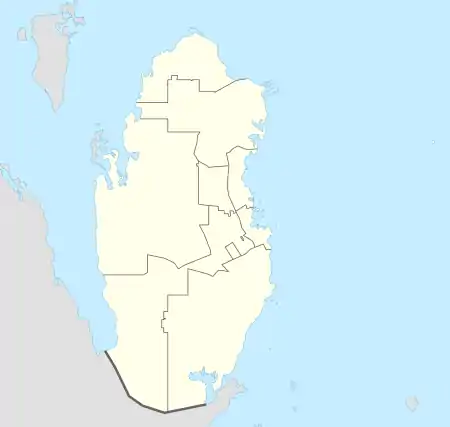
Rawdat Abal Heeran (Arabic: روضة أبا الحيران) is a rural district in Qatar, located in the municipality of Al Rayyan.[3][4] It is situated in Zone 53, along with Al Wajbah, New Al Rayyan and Muaither.
Rawdat Abal Heeran
روضة أبا الحيران | |
|---|---|
District | |
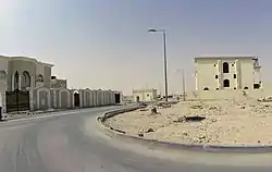 Street 1225 in Rawdat Abal Heeran | |
 Rawdat Abal Heeran | |
| Coordinates: 25.261043°N 51.3333°E | |
| Country | |
| Municipality | Al Rayyan |
| Zone | Zone 53 |
| District no. | 67 |
| Area | |
| • Total | 8.0 km2 (3.1 sq mi) |
| Elevation | 121 m (397 ft) |
Development
The Public Works Authority (Ashghal) completed the Rawdat Abal Heeran Infrastructure Project in March 2018. The project, at a cost of QR 989 million, witnessed the construction of approximately 68 km of road and pedestrian paths as well as mosques and green spaces to serve about 2,622 residential plots.[5]
Etymology
The term "rawda" refers to depressions which act as reservoirs for surface runoff and thus are rich in plant life. "Abal" is derived from the Arabic "abu", meaning "father of"; this is commonly used as a prefix for geographical features in Qatar. Finally, the term Arabic term "heeran" translates to "young camels". This name was given to the area on account of the numerous camels which historically grazed in the area.[4]
References
- "District Area Map". Ministry of Development Planning and Statistics. Retrieved 15 May 2019.
- "Rawdat Abal Heeran, Zone 53, Qatar on the Elevation Map". elevationmap.net. Retrieved 15 May 2019.
- "Qatar Development Atlas - Part 1" (PDF). Ministry of Development Planning and Statistics. 2010. p. 10. Retrieved 15 May 2020.
- "District map". The Centre for Geographic Information Systems of Qatar. Retrieved 15 May 2020.
- "Rawdat Abal Heeran Road, infrastructure projects complete". Gulf Times. 16 March 2018. Retrieved 15 May 2020.
Capital: Al Rayyan City | |
| Zone 51 | |
| Zone 52 | |
| Zone 53 | |
| Zone 54 | |
| Zone 55 |
|
| Zone 56 |
|
| Zone 81 | |
| Zone 83 |
|
| Zone 96 |
|
| Zone 97 | |
