Luaib
Luaib (Arabic: لوعيب) is a district in Qatar, located in the municipality of Al Rayyan.[3][4]
Luaib
لوعيب | |
|---|---|
District | |
 Luaib | |
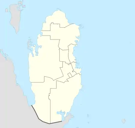
| Coordinates: 25.2841°N 51.4598°E | |
| Country | Qatar |
| Municipality | Al Rayyan |
| Zone | Zone 54 |
| District no. | 80 |
| Area | |
| • Total | 2.3 km2 (0.9 sq mi) |
| Elevation | 22 m (72 ft) |

Umm Ayman Secondary Independent School for Girls in Luaib.
In the 2015 census, it was listed as a district of zone no. 54 which has a population of 24,593 and also includes Baaya, Muraikh, Mehairja, Fereej Al Soudan, and Fereej Al Amir.[3]
It borders Muraikh to the west, Mehairja to the south, Fereej Al Amir to the east and Old Al Rayyan to the north.[4]
Etymology
Luaib's name originates from the Arabic term "waab", referring to "a vast, open plain that accommodates many things". The plain, which is the defining feature of the area, is rich in plant life.[4]
Education
The following schools are located in Luaib:
| Name of School | Curriculum | Grade | Genders | Ref |
|---|---|---|---|---|
| Al Qadasiya Model Independent Boys School | Independent | Kindergarten – Primary | Male-only | [5] |
| Umm Ayman Secondary Girls School | Independent | Secondary | Female-only | [6] |
References
- "District Area Map". Ministry of Development Planning and Statistics. Retrieved 12 February 2019.
- "Luaib, Zone 54, Qatar on the Elevation Map". elevationmap.net. Retrieved 2 January 2019.
- "2015 population census" (PDF). Ministry of Development Planning and Statistics. Retrieved 2 January 2019.
- "District map". The Centre for Geographic Information Systems of Qatar. Retrieved 2 January 2019.
- "Al Qadesyea Model Independent Boys". Supreme Education Council. Retrieved 2 January 2019.
- "Umm Ayman Secondary Girls School". Supreme Education Council. Retrieved 2 January 2019.
Capital: Al Rayyan City | |
| Zone 51 | |
| Zone 52 | |
| Zone 53 | |
| Zone 54 | |
| Zone 55 |
|
| Zone 56 |
|
| Zone 81 | |
| Zone 83 |
|
| Zone 96 |
|
| Zone 97 | |
This article is issued from Wikipedia. The text is licensed under Creative Commons - Attribution - Sharealike. Additional terms may apply for the media files.
