Jariyan Al Batnah
Jariyan Al Batnah (Arabic: جريان الباطنة, romanized: Jarayān al Baţnah; also spelled Jariyan Al Butna) is a village and former municipality of Qatar. Its territory was split between the municipalities of Al Wakrah and Al Rayyan in 2004.[2] All of Jariyan Al Batnah's districts recorded in the 2004 census – Al Karaana, Rawdat Rashed, Sawda Natheel, and Abu Samra[3] – were distributed to the municipality of Al Rayyan thereafter.[4] The village of Jariyan Al Batnah was also shifted to within Al Rayyan's boundaries, in Zone 83.[5]
Jariyan Al Batnah
جريان الباطنة | |
|---|---|
Village | |
 Jariyan Al Batnah | |
| Coordinates: 25.107241°N 51.154251°E | |
| Country | |
| Municipality | Al Rayyan |
| Zone | Zone 83 |
| District no. | 521 |
| Area | |
| • Total | 4.4 km2 (1.7 sq mi) |
The Persian Gulf bordered Jariyan Al Batnah in its west and its southeast. It used to be the only municipality to border foreign territory: Saudi Arabia's Ash Sharqiyah province.
Etymology
The word 'jeriyan' is the plural of 'jeri', which itself is derived from the Arabic word 'qeri', referring to a place where water flows freely and which accommodates a variety of plant life. 'Batnah' originates from the local term 'batn', which translates to 'inside of'. This name was given on account of the village being built in a depression surrounded by jeris.[5]
As a municipality
Jariyan Al Batnah
جريان الباطنة | |
|---|---|
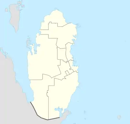
 Map of Qatar with Jariyan Al Batnah Municipality highlighted | |
| Country | |
| Area | |
| • Total | 3,906 km2 (1,508 sq mi) |
| Population (2004) | |
| • Total | 6,308 |
| • Density | 1.6/km2 (4.2/sq mi) |
| Time zone | UTC+03 (East Africa Time) |
| ISO 3166 code | QA-JB |
The following table shows the population of Jariyan Al Batnah.[6][3]
| March 2004 | March 1997 | March 1986 |
|---|---|---|
| 6,678 | 4,521 | 2,727 |
The following table shows the registered live births by nationality and sex for this municipality. [7][8]Place of births is based on home municipality of mother at birth.
| Year | Qatari Male | Qatari Female | Total Qatari | Non Qatari Male | Non Qatari Female | Total Non Qatar | Total Male | Total Female | Grand Total |
|---|---|---|---|---|---|---|---|---|---|
| 2001 | 18 | 15 | 33 | 5 | 3 | 8 | 23 | 18 | 41 |
| 2002 | 59 | 63 | 122 | 4 | 4 | 8 | 63 | 67 | 130 |
| 2003 | 18 | 16 | 34 | 4 | 6 | 10 | 22 | 22 | 44 |
| 2004 | 16 | 24 | 40 | 4 | 0 | 4 | 20 | 24 | 44 |
| 2005 | 28 | 25 | 53 | 7 | 3 | 10 | 35 | 28 | 63 |
| 2006 | 20 | 32 | 52 | 4 | 1 | 5 | 24 | 33 | 57 |
| 2007 | 25 | 22 | 47 | 6 | 1 | 7 | 31 | 23 | 54 |
References
- "District Area Map". Ministry of Development Planning and Statistics. Retrieved 19 February 2019.
- "Municipalities of Qatar". Statoids.com. Retrieved 1 August 2015.
- "Population and social statistics". Qatar Statistics Authority. 2004. Archived from the original on 24 September 2015. Retrieved 3 August 2015.
- "2013 population census" (PDF). Qatar Statistics Authority. Archived from the original (PDF) on 2 April 2015. Retrieved 3 August 2015.
- "GIS Portal". Ministry of Municipality and Environment. Retrieved 12 February 2019.
- "Archived copy". Archived from the original on 2015-09-24. Retrieved 2009-11-30.CS1 maint: archived copy as title (link)
- Archived 2011-07-21 at the Wayback Machine
- Archived 2008-08-21 at the Wayback Machine
Capital: Al Rayyan City | |
| Zone 51 | |
| Zone 52 | |
| Zone 53 | |
| Zone 54 | |
| Zone 55 |
|
| Zone 56 |
|
| Zone 81 | |
| Zone 83 |
|
| Zone 96 |
|
| Zone 97 | |