Filabusi
Filabusi is a town in the Matabeleland South Province of Zimbabwe. The town is the district capital of Insiza District and a service centre for the surrounding mining and farming areas.[1]
Filabusi
Emfelabuso | |
|---|---|
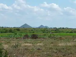 Farming area near Filabusi | |
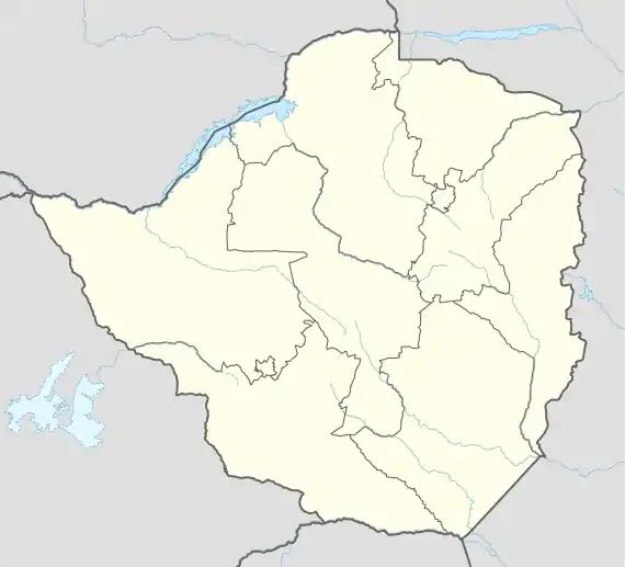 Filabusi Location in Zimbabwe | |
| Coordinates: 20°31′46″S 29°17′12″E | |
| Country | |
| Province | Matabeleland South |
| Districts of Zimbabwe | Insiza District |
| Municipality | Filabusi Town Council |
| Elevation | 3,566 ft (1,087 m) |
| Population (2012 Census) | |
| • Total | 1,756 |
| Time zone | UTC+2 (CAT) |
| Climate | BSh |
Location
Filabusi lies off the Mbalabala–Mutare Road, approximately 98 kilometres (61 mi), southeast of Bulawayo, the nearest large city.[2] This is approximately 91 kilometres (57 mi), by road, west of Zvishavane, in Zvishavane District.[3] The geographical coordinates of Filabusi are 20°31'46.0"S, 29°17'12.0"E (Latitude:-20.529444; Longitude:29.286667).[4] The town sits at an average elevation of 1,087 metres (3,566 ft) above mean sea level.[5]
Overview
The town of Filabusi is supplied with water from a weir on the Insiza River. The Filabusi Mining District was a major producer of gold, with mines such as Fred and Royal Family. Nickel was mined at Epoch Mines, owned by Bindura Nickel Corporation.[6] Asbestos was also mined at Pangani and Croft. However all these large scale mining operations are now closed, with mining in the district limited to small scale artisanal gold mining.[6]
Population
The 2012 national population census put the population of Filabusi at 1,756 inhabitants.[7]
Agriculture
Agriculture in the Filabusi area is mostly cattle ranching, with some small-scale farming (see photo), the latter mainly on land expropriated from Caucasian settlers, as part of the Fast Track Land Reform Programme (FTLRP).[8]
Other considerations
The town hosts a hospital; the Filabusi District Hospital and a high school, the Filabusi High School.[9] Filabusi is also home to Godlwayo Culture Centre, which hosted the 2016 Annual Zimbabwe Culture Week.[10]
See also
- List of cities and towns in Zimbabwe
References
- Lungelo Ndhlovu (20 November 2019). "Homes, land destroyed as desperate Zimbabweans turn to illegal gold mining". London: Thomson Reuters Foundation. Retrieved 27 July 2020.
- Google (27 July 2020). "Road Distance Between Bulawayo and Filabusi" (Map). Google Maps. Google. Retrieved 27 July 2020.
- Google (27 July 2020). "Road Distance From Filabusi To Zvishavane" (Map). Google Maps. Google. Retrieved 27 July 2020.
- Google (27 July 2020). "Location of Filabusi, Zimbabwe" (Map). Google Maps. Google. Retrieved 27 July 2020.
- Floodmap (27 July 2020). "Elevation of Filabusi, Zimbabwe". Floodmap.net. Retrieved 27 July 2020.
- Baglow, N. (1998). The geology of the Filabusi Greenstone Belt and surrounding granitic terrain. 91. Zimbabwe Geological Survey Bulletin.
- Geoview (2020). "Filabusi is a populated place and is located in Matabeleland South, Zimbabwe". Geoview.info. Retrieved 27 July 2020.
- John Murphy (6 July 2004). "Zimbabwe farmers set roots in Zambia". The Baltimore Sun. Baltimore, Maryland, United States. Retrieved 27 July 2020.
- Google (27 July 2020). "Map Showing Filabusi High School and Filabusi District Hospital" (Map). Google Maps. Google. Retrieved 27 July 2020.
- "Zimbabwe: Culture Week Preparations Gather Momentum" (via AllAfrica.com). The Herald (Zimbabwe). Harare. 28 April 2016. Retrieved 27 July 2020.
