Plumtree, Zimbabwe
Plumtree is a town in Zimbabwe. Alongside marula trees, wild plum trees ('umqokolo' in Ndebele language) grew abundantly in the area, hence the name Plumtree. The town was once called Getjenge by the Kalanga people which is the dominant tribe. Another name which is mainly used is Titji which simple means station due to the railway station which was operating in the area around 1897.[1]
Plumtree | |
|---|---|
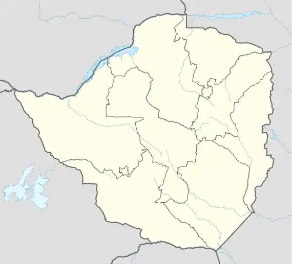 Plumtree Location in Zimbabwe | |
| Coordinates: 20°28′41″S 27°47′50″E | |
| Country | |
| Province | Matabeleland South |
| Districts of Zimbabwe | Bulilimamangwe District |
| Municipality | Plumtree Town Council |
| Government | |
| • Mayor | Eroc Garcia |
| Elevation | 1,374 m (4,508 ft) |
| Population (2012 Census) | |
| • Total | 11,660 |
| Time zone | UTC+2 (CAT) |
| Climate | Cwa |
Location
The town is located in Bulilimamangwe District, in the Matabeleland South Province, in southwestern Zimbabwe, at the international border with Botswana. It is located about 110 kilometres (68 mi), by road, southwest of Bulawayo, the nearest large city.[2] Plumtree sits on the main road between Bulawayo in Zimbabwe and Francistown in Botswana, about 94 kilometres (58 mi), further southwest from Plumtree.[3] The geographical coordinates of Plumtree are: 20°28'41.0"S, 27°47'50.0"E (Latitude:-20.478056; Longitude:27.797222).[4] The border is defined by the Ramokgwebana River. The village of Ramokgwebana is opposite Plumtree on the Botswana side.[4] Plumtree lies at an average elevation of 1,374 metres (4,508 ft) above mean sea level.[5]
Overview
It is the local administrative centre for Mangwe District, which is made up of two sub-districts; namely (a) Mangwe Urban (Plumtree) and (b) Mangwe Rural. What was Bulilima West, is now Bulilima District. (see:Map of the Districts of Matabeleland South Provinve)[6]
At an altitude of 1,374 metres (4,508 ft), above sea level, the town sits on the watershed between the Limpopo River basin to the south and the Zambezi River basin to the north. The Tati River rises near Plumtree, running west and then south into the Shashe River, a tributary of the Zambezi. The annual rainfall is about 500 millimetres (20 in), with a long dry season from April to October.[7]
The railway from Bulawayo to Francistown crosses the border near Plumtree. There is a functioning casino in Plumtree. There are several elementary and secondary schools in the town. Radio and television reception from within Zimbabwe is weak in this neighborhood. Residents in Plumtree and neighboring communities rely on reception from neighboring Botswana and South Africa for news and general information.[8]
Population
There are two main languages spoken in Plumtree; (a) Kalanga and (b) Ndebele. Other languages spoken to a lesser extent include Tswana, used near the Botswana border. In 2004, the population of the town was estimated at 2,184.[9] The 2012 national population census enumerated the population of Plumtree, Zimbabwe, at 11,660 inhabitants. Of these, 6,261 (53.7 percent) were females and 5,399 (46.3 percent) were males. They were grouped into 3,273 households with average size of 3.6 family members.[10]
Climate
| Climate data for Plumtree, Zimbabwe (1961–1990) | |||||||||||||
|---|---|---|---|---|---|---|---|---|---|---|---|---|---|
| Month | Jan | Feb | Mar | Apr | May | Jun | Jul | Aug | Sep | Oct | Nov | Dec | Year |
| Average high °C (°F) | 28.1 (82.6) |
27.5 (81.5) |
27.4 (81.3) |
26.2 (79.2) |
24.1 (75.4) |
21.7 (71.1) |
21.6 (70.9) |
24.5 (76.1) |
28.2 (82.8) |
29.7 (85.5) |
29.0 (84.2) |
28.0 (82.4) |
26.3 (79.3) |
| Average low °C (°F) | 16.9 (62.4) |
16.5 (61.7) |
15.7 (60.3) |
13.6 (56.5) |
10.8 (51.4) |
8.4 (47.1) |
8.3 (46.9) |
10.5 (50.9) |
13.8 (56.8) |
15.9 (60.6) |
16.7 (62.1) |
16.6 (61.9) |
13.6 (56.5) |
| Average rainfall mm (inches) | 120.2 (4.73) |
114.0 (4.49) |
70.0 (2.76) |
35.9 (1.41) |
6.8 (0.27) |
2.7 (0.11) |
1.3 (0.05) |
0.7 (0.03) |
8.8 (0.35) |
32.5 (1.28) |
90.7 (3.57) |
118.8 (4.68) |
602.4 (23.72) |
| Average rainy days | 10 | 9 | 5 | 3 | 1 | 0 | 0 | 0 | 1 | 4 | 8 | 10 | 51 |
| Source: World Meteorological Organization[11] | |||||||||||||
Notable people linked to Plumtree
References
- The Editors of Encyclopaedia Britannica (20 July 2020). "Profile of Plumtree, Zimbabwe". London, United Kingdom: Encyclopedia Britannica. Retrieved 20 July 2020.
- Google (20 July 2020). "Road Distance Between Bulawayo and Plumtree" (Map). Google Maps. Google. Retrieved 20 July 2020.
- Google (20 July 2020). "Road Distance Between Plumtree, Zimbabwe and Francistown, Botswana" (Map). Google Maps. Google. Retrieved 20 July 2020.
- Google (20 July 2020). "Location of Plumtree, Zimbabwe" (Map). Google Maps. Google. Retrieved 20 July 2020.
- Floodmap (20 July 2020). "Elevation of Plumtree, Zimbabwe". Floodmap.net. Retrieved 20 July 2020.
- Abigirl Khupe (March 2019). "Legislator pushes for establishment of Bulilima hospital". Bulawayo: Cite Organization Zimbabwe. Retrieved 20 July 2020.
- World Weather Online (20 July 2020). "Plumtree Monthly Climate Averages". Worldweatheronline.com. Retrieved 20 July 2020.
- Silas Nkala (3 May 2020). "Matabeleland South Villagers In The Dark About Pandemic". The Standard (Zimbabwe). Harare. Retrieved 20 July 2020.
- Wolfram Alpha (20 July 2020). "Estimated 2004 Population of Plumtree, Zimbabwe". Wolfram Alpha LLC. Retrieved 20 July 2020.
- Zimbabwe National Statistics Agency (18 August 2012). "2012 Population of Plumtree, Zimbabwe" (PDF). United Nations Statistics Division Quoting Zimbabwe National Statistics Agency. p. 83. Retrieved 20 July 2020.
- "World Weather Information Service – Plumtree". World Meteorological Organization. Retrieved 13 May 2016.
External links
- Plumtree Development Trust As of December 2017.
| Authority control |
|
|---|