Funing County, Jiangsu
Funing County (simplified Chinese: 阜宁县; traditional Chinese: 阜寧縣; pinyin: Fùníng Xiàn) is under the administration of Yancheng, Jiangsu province, China. The county borders the prefecture-level city of Huai'an to the west. It has a population of 1.08 million, with 180,000 in the urban area, and a jurisdiction area of 1,436 km2. It is under the jurisdiction of Yancheng municipality. The county was incorporated in 1731. Its seat of government is located at Fucheng Town. Funing is a 400-km drive from Shanghai up the Ningjingyan Expressway.
Funing
阜宁县 Fowning | |
|---|---|
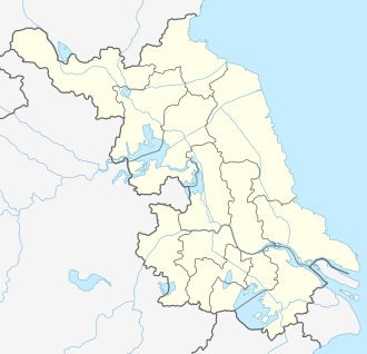 Funing Location in Jiangsu | |
| Coordinates: 33°41′13″N 119°43′44″E[1] | |
| Country | People's Republic of China |
| Province | Jiangsu |
| Prefecture-level city | Yancheng |
| Area | |
| • Total | 1,439 km2 (556 sq mi) |
| Population | |
| • Total | 825,400 |
| • Density | 570/km2 (1,500/sq mi) |
| Time zone | UTC+8 (China Standard) |
| Area code(s) | 224400 |
Funing is famous for being a revolutionary area of the Communist Party of China.
It is also home to the Jiangsu Funing Economic Development Zone.
Administrative divisions
In the present,Funing County has 20 towns.[2]
- 20 towns
|
|
See also
References
- Google (2014-07-02). "Funing" (Map). Google Maps. Google. Retrieved 2014-07-02.
- "盐城市-行政区划网 www.xzqh.org" (in Chinese). XZQH. Retrieved 2012-05-24.
External links
- Funing Government website
- Funing County English guide (Jiangsu.NET)
This article is issued from Wikipedia. The text is licensed under Creative Commons - Attribution - Sharealike. Additional terms may apply for the media files.