Geraldine Peak
Geraldine Peak is a 2,930-metre (9,610-foot) mountain summit located in the Athabasca River valley of Jasper National Park, in the Canadian Rockies of Alberta, Canada. The peak is also known as Whirlpool Mountain,[2][3] and Mount Geraldine.[4] No name has been officially adopted yet. The names derive from its position at the northern end of the long ridge that divides Geraldine Lakes[5] and Geraldine Creek on the southeast side, from the Whirlpool River on the northwest side. The nearest higher peak is Mount Fryatt, 7.0 km (4.3 mi) to the south-southeast.[1] Geraldine Peak can be seen from the Icefields Parkway in the vicinity of Athabasca Falls.
| Geraldine Peak | |
|---|---|
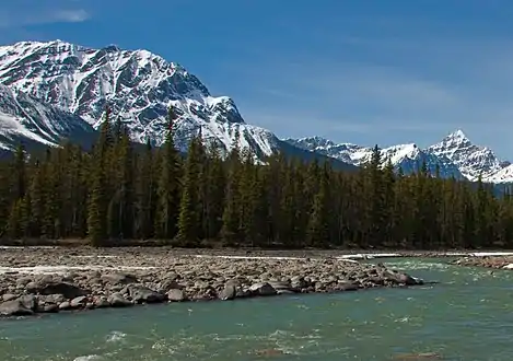
 Geraldine Peak seen from Whirlpool River | |
| Highest point | |
| Elevation | 2,930 m (9,610 ft) [1] |
| Prominence | 710 m (2,330 ft) [1] |
| Parent peak | Mount Fryatt 3361 m[1] |
| Listing | Mountains of Alberta |
| Coordinates | 52°36′26″N 117°57′25″W [1] |
| Geography | |
 Geraldine Peak Location in Alberta  Geraldine Peak Geraldine Peak (Canada) | |
| Location | Alberta, Canada |
| Parent range | Canadian Rockies |
| Topo map | NTS 83C/12[1] |
| Climbing | |
| Easiest route | Scrambling |
Climate
Based on the Köppen climate classification, Geraldine Peak is located in a subarctic climate with cold, snowy winters, and mild summers.[6] Temperatures can drop below -20 °C with wind chill factors below -30 °C. Precipitation runoff from Geraldine Peak drains into tributaries of the Athabasca River.
Geology
The mountain is composed of sedimentary rock laid down during the Precambrian to Jurassic periods and pushed east and over the top of younger rock during the Laramide orogeny.[7]
See also
References
- "Geraldine Peak". Bivouac.com. Retrieved 2018-12-12.
- Thorington, J. Monroe (1925). The Glittering Mountains of Canada. Rocky Mountain Books. p. 171.
- Birrell, Dave (2000). 50 Roadside Panoramas in the Canadian Rockies. Rocky Mountain Books. pp. 28–29.
- Dougherty, Sean (1991). Selected Alpine Climbs in the Canadian Rockies. Rocky Mountain Books. p. 252.
- "Geraldine Lakes". Geographical Names Data Base. Natural Resources Canada. Retrieved 2018-12-13.
- Peel, M. C.; Finlayson, B. L.; McMahon, T. A. (2007). "Updated world map of the Köppen−Geiger climate classification". Hydrol. Earth Syst. Sci. 11: 1633–1644. ISSN 1027-5606.
- Gadd, Ben (2008), Geology of the Rocky Mountains and Columbias
Gallery
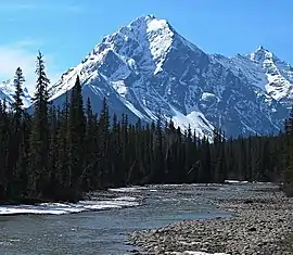
 Whirlpool Mountain (left) and Mount Edith Cavell (right) seen with Athabasca River
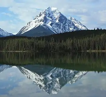 Whirlpool Mountain reflected in Leech Lake
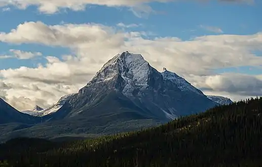 Whirlpool Mountain
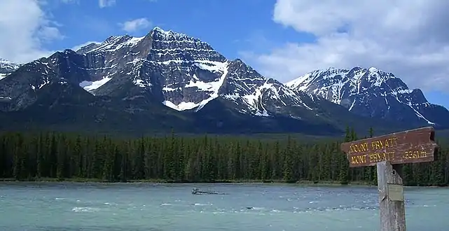 Mount Fryatt outlier (left) and Whirlpool Mountain (right)
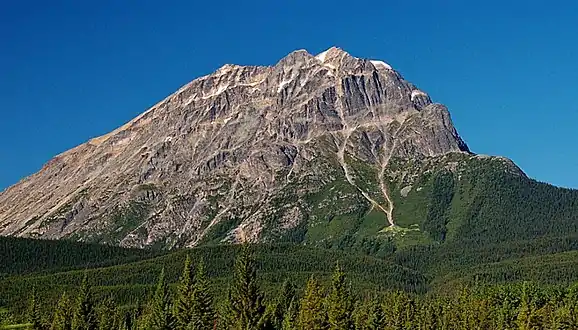 Geraldine Peak
 Geraldine Peak
External links
- Parks Canada web site: Jasper National Park
- Climbing Geraldine Peak: Giant's Gate Journeys