Henderson Station, Minnesota
Henderson Station is an unincorporated community in Tyrone Township, Le Sueur County, Minnesota, United States. The community is also known as East Henderson. It is 1.3 mile east of Henderson, and six miles north of Le Sueur.
Henderson Station, Minnesota
East Henderson | |
|---|---|
 Henderson Station  Henderson Station | |
| Coordinates: 44°31′33″N 93°53′02″W | |
| Country | United States |
| State | Minnesota |
| County | Le Sueur |
| Township | Tyrone |
| Elevation | 745 ft (227 m) |
| Time zone | UTC-6 (Central (CST)) |
| • Summer (DST) | UTC-5 (CDT) |
| ZIP code | 56044 and 56058 |
| Area code(s) | 507 |
| GNIS feature ID | 644864[1] |
The community is located along Henderson Station Road–Le Sueur County Road 34. Highway 19 (MN 19) and U.S. 169 are nearby.
The community of Henderson Station was originally established in the 1850s as Clarksville, located on the east side of the Minnesota River, opposite the city of Henderson in adjacent Sibley County. The community was organized in 1855, platted in 1877, incorporated in 1883, but has since returned to being an unincorporated community in section 7 within Tyrone Township.
Henderson Station had a ferry from 1856 to 1877, a general store, and a grain elevator, which closed in 1960.
It had a station on the former Chicago, St. Paul, Minneapolis and Omaha Railroad in section 6 of Tyrone Township.[2]
Ney Nature Center is nearby.
References
- "Henderson Station, Minnesota". Geographic Names Information System. United States Geological Survey.
- , Minnesota Historical Society, 2008. Accessed May 23, 2014.
Municipalities and communities of Le Sueur County, Minnesota, United States | ||
|---|---|---|
| Cities | 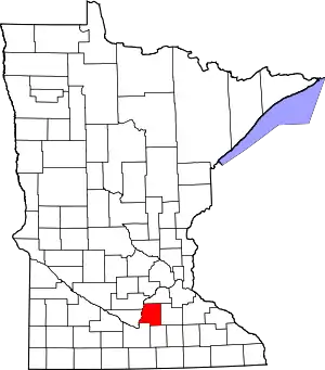 Map of Minnesota highlighting Le Sueur County | |
| Townships | ||
| Unincorporated communities | ||
| Footnotes | ‡This populated place also has portions in an adjacent county or counties | |
| ||
