La Dina Fault
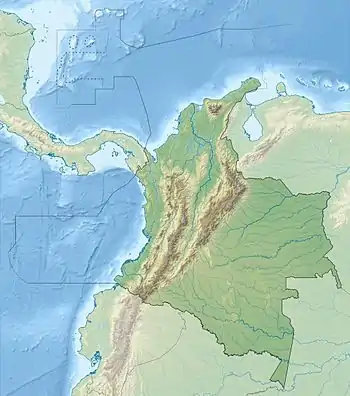
La Dina Fault (Spanish: Falla La Dina) is a regional dextral oblique thrust fault in the departments of Huila and Tolima in southwestern Colombia. The fault has a total length of 206.9 kilometres (128.6 mi) and runs along an average northeast to southwest strike of 032.9 ± 13 in the Upper Magdalena Valley and the Central Ranges of the Colombian Andes.
| La Dina Fault | |
|---|---|
| Falla La Dina, El Agrado-Betania Fault | |
 | |
| Coordinates | 02°55′52″N 75°25′36″W |
| Country | |
| Region | Andean |
| State | Huila, Tolima |
| Characteristics | |
| Range | Central Ranges, Andes |
| Part of | Andean oblique faults |
| Length | 206.9 km (128.6 mi) |
| Strike | 032.9 ± 13 |
| Dip | West |
| Dip angle | 40-60 |
| Displacement | 0.2–1 mm (0.0079–0.0394 in)/yr |
| Tectonics | |
| Plate | North Andean |
| Status | Inactive |
| Type | Oblique thrust fault |
| Movement | Dextral reverse |
| Rock units | Honda Gp., Chicoral Gp., Olini Gp., Saldaña Fm. |
| Age | Quaternary |
| Orogeny | Andean |
Description
La Dina Fault lies east of La Plata Fault in southwestern Colombia. The fault displaces Jurassic (Saldaña Formation), Cretaceous (Chicoral and Olini Groups), and Tertiary (Honda Group) sedimentary rocks, which are common in the Upper Magdalena Valley. Local names assigned to the southern extension of this fault are from north to south: Betania, Pital-Agredo and Magdalena.[1] It is also called the El Agrado-Betania Fault in Huila, where it underlies the Betania Reservoir.[2] The fault is marked by well-developed trace, abrupt slope changes, saddles, and small scarps.[1]
References
- Paris et al., 2000a, p.58
- Mapa Geológico del Huila, 2001
Bibliography
- Paris, Gabriel; Michael N. Machette; Richard L. Dart, and Kathleen M. Haller. 2000a. Map and Database of Quaternary Faults and Folds in Colombia and its Offshore Regions, 1–66. USGS. Accessed 2017-09-18.
Maps
- Marquínez, Germán, and Francisco Velandia. 2001. Mapa Geológico del Huila 1:300,000, 1. INGEOMINAS. Accessed 2017-09-21.
- Paris, Gabriel; Michael N. Machette; Richard L. Dart, and Kathleen M. Haller. 2000b. Map of Quaternary Faults and Folds of Colombia and Its Offshore Regions, 1. USGS. Accessed 2017-09-18.
| Tectonic plates | 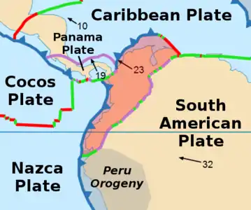   | ||||||||||
|---|---|---|---|---|---|---|---|---|---|---|---|
| Terranes |
| ||||||||||
| Terrane-bounding fault systems |
| ||||||||||
| Intraterrane faults |
| ||||||||||
| Major earthquakes | |||||||||||
| Orogenies |
| ||||||||||
| Other topics | |||||||||||
| Sources |
| ||||||||||