Le Plan
Le Plan is a commune in the Haute-Garonne department in southwestern France.
Le Plan | |
|---|---|
 The church in Le Plan | |
.svg.png.webp) Coat of arms | |
Location of Le Plan 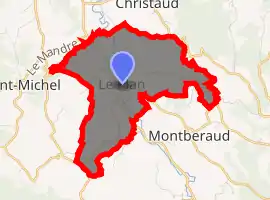
| |
 Le Plan  Le Plan | |
| Coordinates: 43°10′04″N 1°07′16″E | |
| Country | France |
| Region | Occitanie |
| Department | Haute-Garonne |
| Arrondissement | Muret |
| Canton | Cazères |
| Government | |
| • Mayor (2008–2014) | Pierre Zordan |
| Area 1 | 8.02 km2 (3.10 sq mi) |
| Population (2017-01-01)[1] | 447 |
| • Density | 56/km2 (140/sq mi) |
| Time zone | UTC+01:00 (CET) |
| • Summer (DST) | UTC+02:00 (CEST) |
| INSEE/Postal code | 31425 /31220 |
| Elevation | 246–480 m (807–1,575 ft) (avg. 260 m or 850 ft) |
| 1 French Land Register data, which excludes lakes, ponds, glaciers > 1 km2 (0.386 sq mi or 247 acres) and river estuaries. | |
Population
| Year | Pop. | ±% |
|---|---|---|
| 1962 | 255 | — |
| 1968 | 281 | +10.2% |
| 1975 | 277 | −1.4% |
| 1982 | 290 | +4.7% |
| 1990 | 300 | +3.4% |
| 1999 | 315 | +5.0% |
| 2008 | 453 | +43.8% |
References
- "Populations légales 2017". INSEE. Retrieved 6 January 2020.
| Wikimedia Commons has media related to Le Plan (Haute-Garonne). |
| Authority control |
|---|
This article is issued from Wikipedia. The text is licensed under Creative Commons - Attribution - Sharealike. Additional terms may apply for the media files.