List of districts of Sikkim
There are 4 districts in Sikkim, an Indian state, each overseen by a Central Government appointee, the district collector, who is in charge of the administration of the civilian areas of the districts. The Indian army has control of a large territory, as the state is a sensitive border area. Many areas are restricted and permits are needed to visit them. There are a total of eight towns and nine subdivisions in Sikkim. The four districts are:
| Code | District | Headquarters | Population (2011)[1] | Area (km²) | Density (/km²) | Map |
| ES | East Sikkim | Gangtok | 281,293 | 954 | 257 |  |
| NS | North Sikkim | Mangan | 43,354 | 4,226 | 10 | 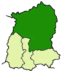 |
| SS | South Sikkim | Namchi | 146,742 | 750 | 175 |  |
| WS | West Sikkim | Geyzing | 136,299 | 1,166 | 106 |  |
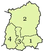
A clickable map of Sikkim exhibiting its four districts.
References
- "Ranking od (sic) Districts by Population Size" (XLS). The Registrar General & Census Commissioner, India, New Delhi-110011. 2010–2011. Retrieved 19 September 2011.
| States | ||
|---|---|---|
| Union territories | ||
| Related topics |
| |
Kanchanajangha national park are available in Magan district Sikkim.
This article is issued from Wikipedia. The text is licensed under Creative Commons - Attribution - Sharealike. Additional terms may apply for the media files.