Long Remirang
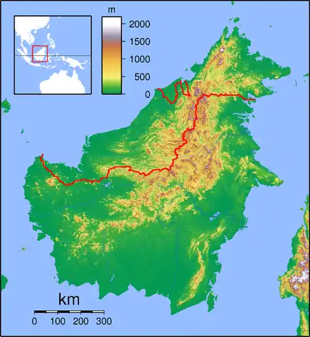
Long Remirang is a settlement in the Lawas division of Sarawak, Malaysia.[1][2] It lies approximately 660.3 kilometres (410 mi) east-north-east of the state capital Kuching.
Long Remirang | |
|---|---|
 Long Remirang | |
| Coordinates: 4.6°N 115.45°E | |
| Country | |
| State | |
| Administrative Division | Lawas |
| Elevation | 587 m (1,926 ft) |
Orientation
It is one of four villages, Long Lidung, Long Remirang, Puneng Brayong and Long Tuyo, which are close to Long Sukang, and which co-operate in social and welfare activities.[3]
Other neighbouring settlements include:
- Long Lutok 4.1 kilometres (2.5 mi) southeast
- Long Sukang 6.7 kilometres (4.2 mi) southeast
- Long Berayong 11.7 kilometres (7.3 mi) south
- Long Tengoa 13.1 kilometres (8.1 mi) west
- Kampung Kuala Beriwan 17.5 kilometres (10.9 mi) northwest
- Kampung Belu 17.6 kilometres (10.9 mi) north
- Pa Brayong 18.3 kilometres (11.4 mi) southeast
- Kampung Tagar 19.1 kilometres (11.9 mi) northeast
- Long Sabuloh 19.4 kilometres (12.1 mi) north
- Long Tuan 19.7 kilometres (12.2 mi) northwest
References
- M. Mohizah, S. Julia and W. K. Soh (2006). A Sarawak Gazetteer (PDF). Kuala Lumpur: Sarawak Forestry Department Malaysia and Forest Research Institute Malaysia. ISBN 9832181860. OCLC 85818866. Archived from the original (PDF) on 2011-07-22. Retrieved 2011-01-01.
- "Long Remirang, Malaysia". Geonames. 2003-11-25. Retrieved 2010-12-27.
- "Kampung Long Sukang". Archived from the original on 2013-01-14. Retrieved 2012-12-18.
Capital: Kuching | |
| History | |
| Topics |
|
| Society |
|
| Administrative divisions | |
| |
This article is issued from Wikipedia. The text is licensed under Creative Commons - Attribution - Sharealike. Additional terms may apply for the media files.