Tatau
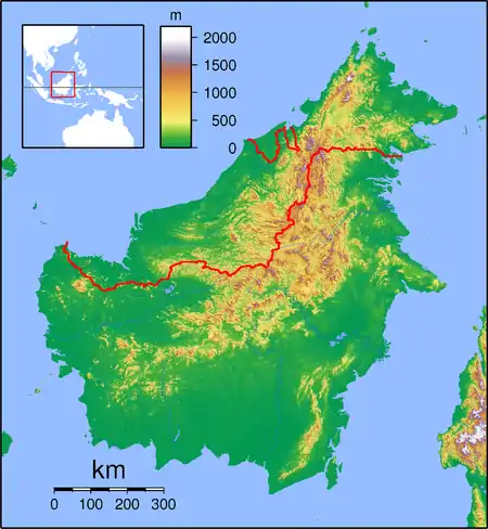
Tatau is a town, and the capital of the Tatau District (4,945.8 square kilometres) in Bintulu Division, Sarawak, Malaysia. The district's reported total population for Tatau (year 2010 census) was 30,383.[1][2] Tatau became a district in 1987. Before that it was a Sub District under Bintulu District. The main spoken languages are Iban, Kenyah, Beketan and Punan.
Tatau | |
|---|---|
 Tatau | |
| Coordinates: 2°53′0″N 112°51′0″E | |
| Country | |
| State | |
| Population (2000) | |
| • Total | 25,300 |
Education
Secondary school
- SMK Tatau
Primary school
- SK Tatau
- SJK(C) Chung Hua Tatau
- SK Ulu Kakus
- SK Tatau
- SK Sungai Bagiau
- SK Sangan Iban
- SK Rumah Keseng
- SK Rh Tayai
- SK Ng Tau
- SK Ng Penyarai
- SK Kuala Tatau
- SK Kuala Serupai
- SK Kuala Annau
- SK Kelawit
- SK Nanga Tau
- SK Nanga Muput
- SK Rumah Barrau
Pan Borneo Highway project
As the part of the Pan Borneo Highway, Tatau is put into works package contract (WPC09) from Sg. Arip Bridge to Bintulu Airport Junction. The main proposal is upgrading the existing road from two way lane to four way two lane and constructing a new parallel bridges alongside of the project, including the main Batang Tatau Bridge. It was taken by the turnkey contractor, Lebuhraya Borneo Utara (LBU) Sdn Bhd and the main contractor of this WPC is KKBWCT Joint Venture Sdn Bhd.
Climate
Tatau has a tropical rainforest climate (Af) with heavy to very heavy rainfall year-round.
| Climate data for Tatau | |||||||||||||
|---|---|---|---|---|---|---|---|---|---|---|---|---|---|
| Month | Jan | Feb | Mar | Apr | May | Jun | Jul | Aug | Sep | Oct | Nov | Dec | Year |
| Average high °C (°F) | 29.7 (85.5) |
29.7 (85.5) |
30.4 (86.7) |
31.0 (87.8) |
31.4 (88.5) |
31.2 (88.2) |
31.2 (88.2) |
31.0 (87.8) |
31.0 (87.8) |
30.7 (87.3) |
30.5 (86.9) |
30.1 (86.2) |
30.7 (87.2) |
| Daily mean °C (°F) | 26.1 (79.0) |
26.1 (79.0) |
26.6 (79.9) |
26.9 (80.4) |
27.3 (81.1) |
26.9 (80.4) |
26.8 (80.2) |
26.7 (80.1) |
26.8 (80.2) |
26.7 (80.1) |
26.6 (79.9) |
26.2 (79.2) |
26.6 (80.0) |
| Average low °C (°F) | 22.5 (72.5) |
22.5 (72.5) |
22.8 (73.0) |
22.9 (73.2) |
23.2 (73.8) |
22.7 (72.9) |
22.4 (72.3) |
22.4 (72.3) |
22.6 (72.7) |
22.7 (72.9) |
22.7 (72.9) |
22.4 (72.3) |
22.6 (72.8) |
| Average rainfall mm (inches) | 415 (16.3) |
327 (12.9) |
310 (12.2) |
256 (10.1) |
243 (9.6) |
257 (10.1) |
218 (8.6) |
280 (11.0) |
310 (12.2) |
355 (14.0) |
365 (14.4) |
460 (18.1) |
3,796 (149.5) |
| Source: Climate-Data.org[3] | |||||||||||||
References
- "The Official Portal of the Sarawak Government". www.sarawak.gov.my. Retrieved 6 January 2020.
- "Sarawak (State, Malaysia) - Population Statistics, Charts, Map and Location". www.citypopulation.de. Retrieved 6 January 2020.
- "Climate: Tatau". Climate-Data.org. Retrieved 29 October 2020.
Capital: Kuching | |
| History | |
| Topics |
|
| Society |
|
| Administrative divisions | |
| |
