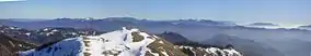
Monte Antola
Monte Antola (in Ligurian munte Antua) is a mountain in Liguria, northern Italy, part of the Ligurian Appennines.
| Monte Antola | |
|---|---|
 | |
| Highest point | |
| Elevation | 1,597 m (5,240 ft) [1] |
| Prominence | 232 m (761 ft) |
| Coordinates | 44°34′28″N 09°08′59″E |
| Geography | |
 Monte Antola Italy | |
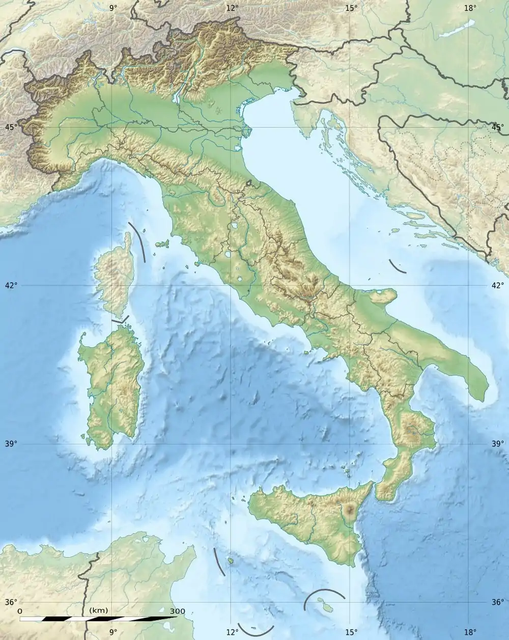
| Location | Liguria and Piemonte, Italy |
| Parent range | Ligurian Appennines |
Geography
The mountain is located between the provinces of Genoa and Alessandria. It lies at an altitude of 1597 metres.[2] Close to the summit is located the Rifugio Parco Antola, a mountain hut built by the Ente Parco and managed by the Club Alpino Italiano. It can accommodate up to 32 hikers or alpinists.[3]
Access to the summit
Several footpaths meet on mount Antola starting from the surrounding valleys. Among them can be cited:
- the route from Bavastrelli (Propata), which reaches the summit in a couple of hours passing near the new mountain hut built by the natural park;
- the route from Caprile, another village of Propata municipality, which after the saddle near Monte delle Tre Croci reaches the summit following the Po Valley/Ligurian Sea water divide. It takes around 2.30 hours' walking;
- the route from Crocefieschi, through the Incisa pass, demanding more than 4 hours of walk;
- the route from Torriglia through monte Carmo (around 3 hours).[4]
Conservation
The southern side of the mountain since 1989 is included in the Parco naturale regionale dell'Antola.[2]
References
- 1:25.000 map of IGM, see www.pcn.minambiente.it
- L'Area Protetta, web-page on www.parks.it
- "Rifugio Parco Antola". www.rifugioantola.com. Retrieved 2016-03-12.
- Stefano Ardito (2006). Guida al Parco Naturale Regionale dell'Antola (in Italian). Erredì Grafiche Editoriali. ISBN 88-95023-00-5.
![]() Media related to Monte Antola at Wikimedia Commons
Media related to Monte Antola at Wikimedia Commons
This article is issued from Wikipedia. The text is licensed under Creative Commons - Attribution - Sharealike. Additional terms may apply for the media files.