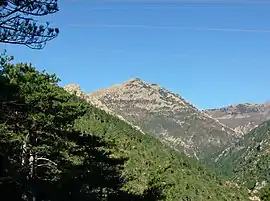
Monte Rama
Monte Rama is a mountain in Liguria, northern Italy, part of the Ligurian Appennines.
| Monte Rama | |
|---|---|
 | |
| Highest point | |
| Elevation | 1,150 m (3,770 ft) |
| Coordinates | 44°25′40″N 8°37′07″E |
| Geography | |
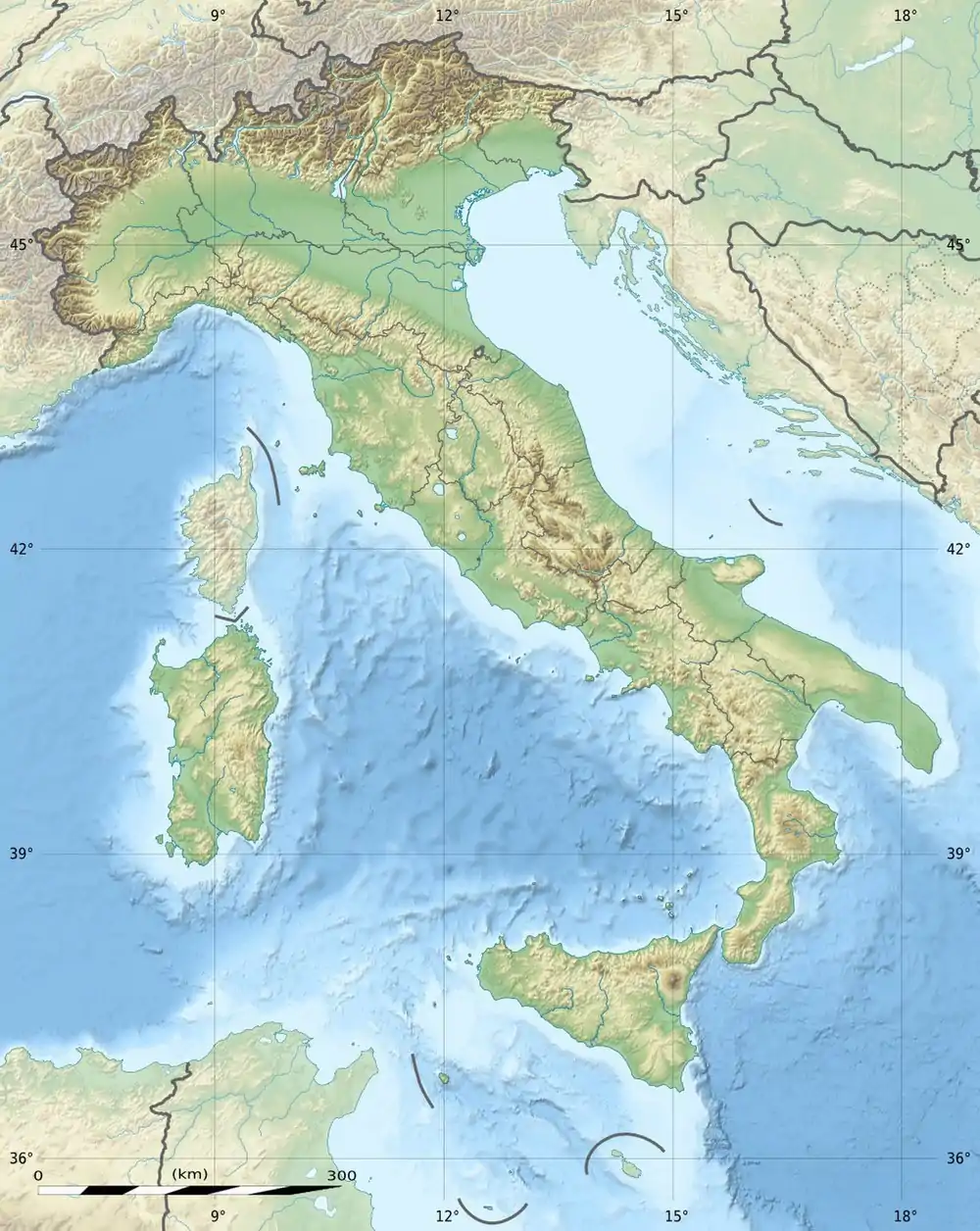 Monte Rama Location in Italy | |
| Location | Liguria, Italy |
| Parent range | Ligurian Appennines |
Geography
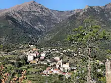
Monte Rama and Lerca village
The mountain is located in the province of Genova, in Liguria, and belongs to the municipality of Cogoleto. It stands on a brief ridge which, starting from the main chain of the Apennines near Rocca del Lago, heads south-east towards the Ligurian Sea and after Cima Fontanaccia reaches the Monte Rama.[1]
Access to the summit
Monte Rama summit can be reached from Sant'Anna Chapel (near Lerca of Cogoleto) following a signposted foothpath with a walk of around 2.30 hours.[2]
Nature conservation
The mountain is included in the Parco naturale regionale del Beigua.[3]
References
- Istituto Geografico Centrale - Carta dei sentieri 1:50.000 n. 16 Genova - Varazze -Ovada
- Monte Rama (via diretta), hike description on www.parodieditore.it (access:July 2015)
- Parco Naturale Regional del Beigua (in Italian, English, German, and French)
![]() Media related to Monte Rama at Wikimedia Commons
Media related to Monte Rama at Wikimedia Commons
This article is issued from Wikipedia. The text is licensed under Creative Commons - Attribution - Sharealike. Additional terms may apply for the media files.
