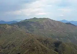
Monte Ramaceto
Monte Ramaceto is a mountain in Liguria, northern Italy, part of the Ligurian Appennines.
| Monte Ramaceto | |
|---|---|
 | |
| Highest point | |
| Elevation | 1,345 m (4,413 ft) [1] |
| Coordinates | 44°25′N 9°22′E |
| Geography | |
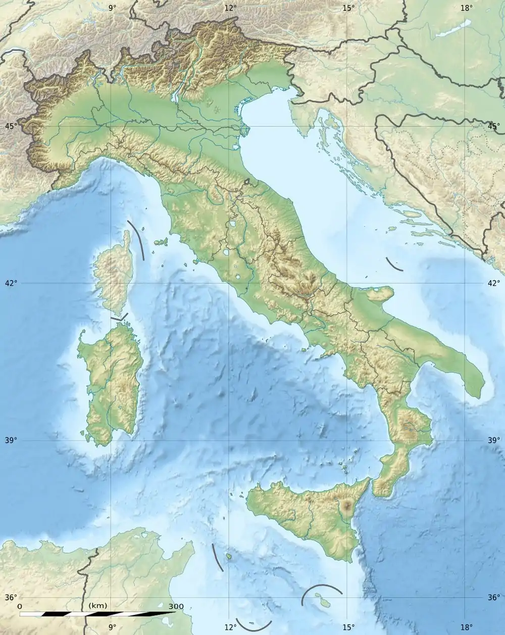 Monte Ramaceto Location in Italy | |
| Location | Liguria, Italy |
| Parent range | Ligurian Appennines |
Hiking
The mountain is accessible by off-road mountain paths and is crossed by the Alta Via dei Monti Liguri, a long-distance trail from Ventimiglia (province of Imperia) to Bolano (province of La Spezia).[2]
Nature conservation
The mountain and its surrounding area are part of a SIC (Site of Community Importance) called Monte Ramaceto (code: IT1331810 ).[3]
References
- Marco Salvo and Daniele Canossini (2003). Appennino ligure e tosco-emiliano. Club Alpino Italiano and Touring Club Italiano. p. 100. ISBN 8836527752.
- "Alta via dei monti liguri - Tappa n. 31". www.altaviadeimontiliguri.it. Associazione Alta Via dei Monti Liguri. Archived from the original on 2015-03-31. Retrieved 2015-04-29.
- Bollettino Ufficiale Regione Liguria nr.13 of 15-7-2009; the Ligurian SIC list is on-line at lrv.regione.liguria.it Archived 2016-03-05 at the Wayback Machine (access: July 2015)
This article is issued from Wikipedia. The text is licensed under Creative Commons - Attribution - Sharealike. Additional terms may apply for the media files.
