Monte delle Figne
Monte delle Figne is a mountain in Liguria, northern Italy, part of the Ligurian Appennines. It lies at an altitude of 1172 metres.[1]
| Monte delle Figne | |
|---|---|
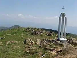 The cross on the mountain's top | |
| Highest point | |
| Elevation | 1,172 m (3,845 ft) |
| Prominence | 587 m (1,926 ft) |
| Coordinates | 44°33′51″N 8°50′08″E |
| Geography | |
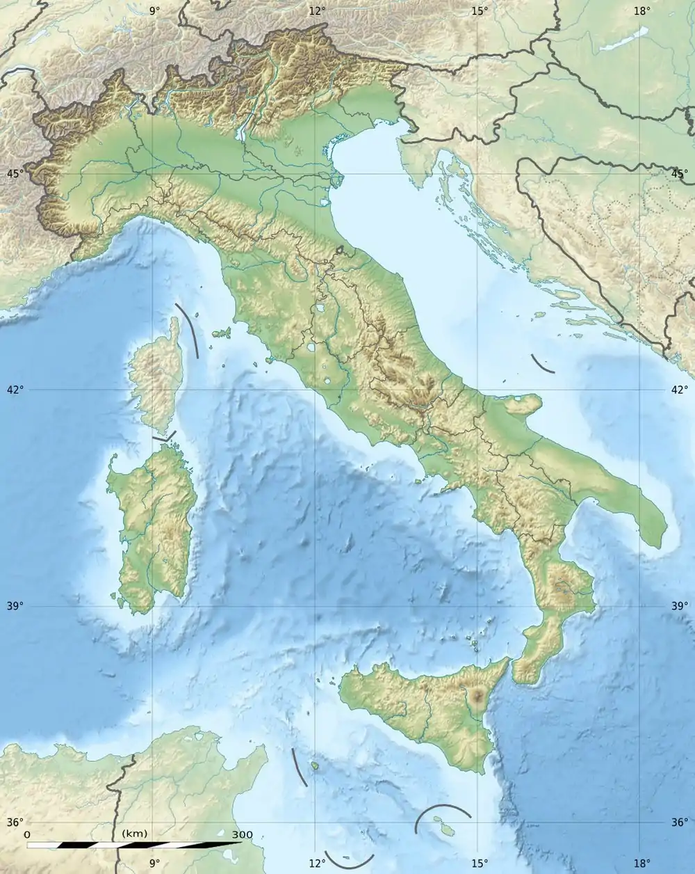 Monte delle Figne Location in Italy | |
| Location | Liguria and Piedmont, Italy |
| Parent range | Ligurian Appennines |
| Climbing | |
| First ascent | ancestral |
| Easiest route | hike |
Geography
The mountain is located in the provinces of Genoa and Alessandria. Is divided by Passo Mezzano (1063 m) from Monte Taccone and by Passo della Dagliola (858 m) and a saddle near Cascina Carrosina (825 m) from Monte Tobbio.
Access to the summit
Monte delle Figne is accessible by signposted traks departing from Bocchetta Pass or Isoverde (municipality of Campomorone).
The Alta Via dei Monti Liguri, a long-distance trail from Ventimiglia (province of Imperia) to Bolano (province of La Spezia), passes very close to the mountain's summit.[2]

Nature conservation
North-western slopes of the mountain are included in the Capanne di Marcarolo Piedmontese natural park.[3]
References
- M. Delle Figne m. 1172, www.paolosnow.it
- Fabrizio Oneto and Fabrizio Càlzia. L'alta via dei monti liguri - Monti di Genova (PDF). www.altaviadeimontiliguri.it (in Italian). Galata. Archived from the original (PDF) on 2015-12-11. Retrieved 2016-04-09.
- Siti di Importanza Comunitaria (SIC), Regione Piemonte, list on gis.csi.it Archived 2016-03-03 at the Wayback Machine (accessed on April 2016)
![]() Media related to Monte delle Figne at Wikimedia Commons
Media related to Monte delle Figne at Wikimedia Commons