Monte Taccone
Monte Taccone is a mountain located between Liguria and Piedmont in north-western Italy. It is part of the Ligurian Appennines.
| Monte Taccone | |
|---|---|
 | |
| Highest point | |
| Elevation | 1,113 m (3,652 ft) [1] |
| Coordinates | 44°33′38″N 08°51′00″E |
| Geography | |
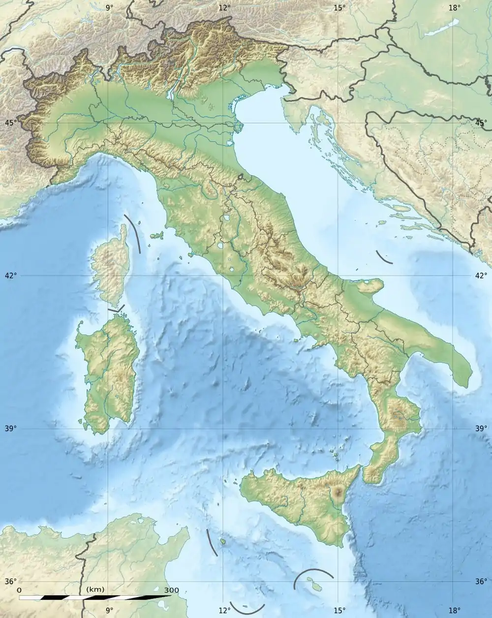 Monte Taccone Location in Italy | |
| Location | Liguria and Piedmont, Italy |
| Parent range | Ligurian Appennines |
| Climbing | |
| First ascent | ancestral |
| Easiest route | hike |
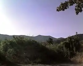
Access to the summit
The mountain is accessible by signposted footpaths departing from Bocchetta Pass or Isoverde (municipality of Campomorone).
The Alta Via dei Monti Liguri, a long-distance trail from Ventimiglia (province of Imperia) to Bolano (province of La Spezia), passes very close to the mountain's summit.[2]
Nature conservation
The northern slopes of Monte Taccone are included in the Capanne di Marcarolo natural park.[3]
References
![]() Media related to Monte Taccone at Wikimedia Commons
Media related to Monte Taccone at Wikimedia Commons
- I.G.C. - Carta dei sentieri 1:50.000 n. 16 Genova - Varazze -Ovada
- Fabrizio Oneto and Fabrizio Càlzia. L'alta via dei monti liguri - Monti di Genova (PDF). www.altaviadeimontiliguri.it (in Italian). Galata. Archived from the original (PDF) on 2015-12-11. Retrieved 2016-04-09.
- Siti di Importanza Comunitaria (SIC), Regione Piemonte, list on gis.csi.it Archived 2016-03-03 at the Wayback Machine (accessed on April 2016)
This article is issued from Wikipedia. The text is licensed under Creative Commons - Attribution - Sharealike. Additional terms may apply for the media files.
