Parma, New South Wales
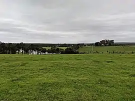
Parma is a locality in the City of Shoalhaven in New South Wales, Australia.[2][3] It lies about 16 km to the southwest of Nowra to the west of the Princes Highway. It is largely made up of grazing land or rural residences. At the 2016 census, it had a population of 169.[1] It was previously called "Parma Ville".[2]
| Parma New South Wales | |||||||||||||||
|---|---|---|---|---|---|---|---|---|---|---|---|---|---|---|---|
 | |||||||||||||||
Parma Location in New South Wales | |||||||||||||||
| Coordinates | 34°57′57″S 150°32′02″E | ||||||||||||||
| Population | 169 (2016 census)[1] | ||||||||||||||
| Postcode(s) | 2540 | ||||||||||||||
| Location | |||||||||||||||
| LGA(s) | City of Shoalhaven | ||||||||||||||
| Region | South Coast | ||||||||||||||
| County | St Vincent | ||||||||||||||
| Parish | Tomerong | ||||||||||||||
| State electorate(s) | Kiama | ||||||||||||||
| Federal Division(s) | Gilmore | ||||||||||||||
| |||||||||||||||
References
- Australian Bureau of Statistics (27 June 2017). "Parma". 2016 Census QuickStats. Retrieved 5 December 2018.

- "Parma". Geographical Names Register (GNR) of NSW. Geographical Names Board of New South Wales. Retrieved 5 December 2018.
- "Parma". OpenStreetMap. Retrieved 5 December 2018.
This article is issued from Wikipedia. The text is licensed under Creative Commons - Attribution - Sharealike. Additional terms may apply for the media files.