Saint-Cyr-les-Vignes
Saint-Cyr-les-Vignes is a commune in the Loire department in central France.
Saint-Cyr-les-Vignes | |
|---|---|
Commune | |
 | |
Location of Saint-Cyr-les-Vignes 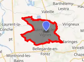
| |
 Saint-Cyr-les-Vignes  Saint-Cyr-les-Vignes | |
| Coordinates: 45°40′41″N 4°18′03″E | |
| Country | France |
| Region | Auvergne-Rhône-Alpes |
| Department | Loire |
| Arrondissement | Montbrison |
| Canton | Feurs |
| Government | |
| • Mayor (2014–2020) | Jean-François Reynaud |
| Area 1 | 19.38 km2 (7.48 sq mi) |
| Population (2017-01-01)[1] | 1,042 |
| • Density | 54/km2 (140/sq mi) |
| Time zone | UTC+01:00 (CET) |
| • Summer (DST) | UTC+02:00 (CEST) |
| INSEE/Postal code | 42214 /42210 |
| Elevation | 357–595 m (1,171–1,952 ft) (avg. 440 m or 1,440 ft) |
| 1 French Land Register data, which excludes lakes, ponds, glaciers > 1 km2 (0.386 sq mi or 247 acres) and river estuaries. | |
Population
|
|
See also
References
- "Populations légales 2017". INSEE. Retrieved 6 January 2020.
| Wikimedia Commons has media related to Saint-Cyr-les-Vignes. |
| Authority control |
|---|
This article is issued from Wikipedia. The text is licensed under Creative Commons - Attribution - Sharealike. Additional terms may apply for the media files.