Sarapiquí (canton)
Sarapiquí is the tenth canton in the province of Heredia in Costa Rica.[1][2]
Sarapiquí | |
|---|---|
.png.webp) Flag  Seal | |

Sarapiquí canton | |
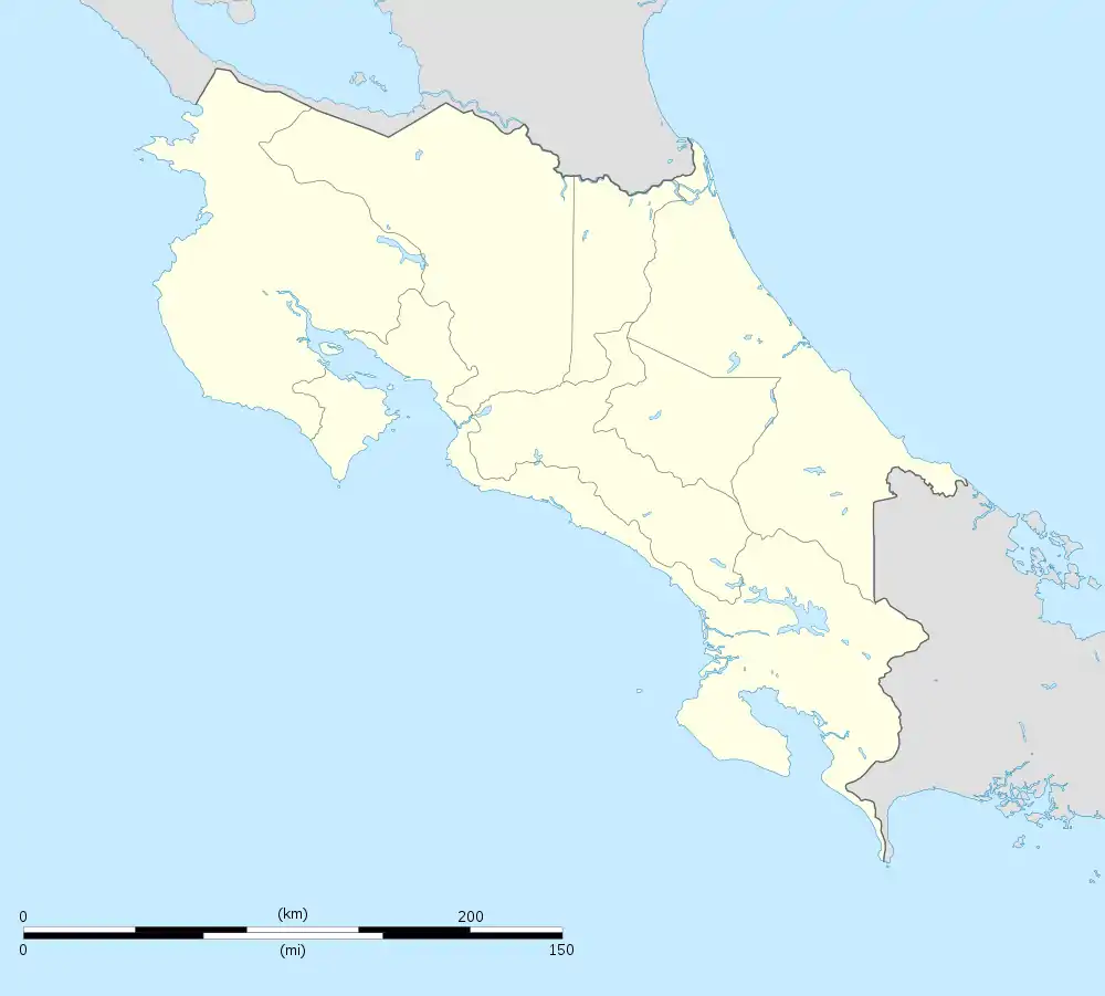
 Sarapiquí Sarapiquí canton location in Costa Rica | |
| Coordinates: 10.4853128°N 83.9362°W | |
| Country | |
| Province | Heredia |
| Government | |
| • Type | Municipality |
| • Body | Municipalidad de Sarapiquí |
| Area | |
| • Total | 2,140.54 km2 (826.47 sq mi) |
| Elevation | 68 m (223 ft) |
| Population (2011) | |
| • Total | 57,147 |
| • Density | 27/km2 (69/sq mi) |
| Time zone | UTC−06:00 |
| Canton code | 410 |
| Website | sarapiqui |
History
The canton was established by law on November 18, 1970.
The Sarapiquí River played a very important role in the defense of national sovereignty, because on 10 April 1856, the filibusters under the command of the American William Walker arrived in Costa Rica through the Sarapiquí River, where the battle of Sardinal was fought. This river and region allowed the export of goods to Europe.
Geography
Sarapiquí has an area of 2,140.54 km²[3] and a mean elevation of 68 metres.[1]
The canton includes the major portion of the Province of Heredia, and is named for its major waterway, the Sarapiquí River. The western half of the canton gives way to the San Carlos Plain. Heredia's provincial border with Alajuela, which runs through the middle of the San Carlos Plain, marks the canton's western limit. The southern boundary of the canton is established by La Virgen River.
Economy
The main agricultural activities in the region are: banana, pineapple, coffee, corn, cocoa, cardamom, citrus, palm, foliage, ornamental plants, fruit trees and livestock.
The tourism has had an important development in the last years, thanks to the recreational activities practiced in the Sarapiquí river.
Demographics
| Historical population | |||
|---|---|---|---|
| Census | Pop. | %± | |
| 1973 | 12,618 | — | |
| 1984 | 18,909 | 49.9% | |
| 2000 | 45,435 | 140.3% | |
| 2011 | 57,147 | 25.8% | |
|
Instituto Nacional de Estadística y Censos[4] |
|||
For the 2011 census, Sarapiquí had a population of 57,147 inhabitants.[6]
Districts
The canton of Sarapiqui is divided into five districts:
- Puerto Viejo
- La Virgen
- Horquetas
- Llanuras del Gaspar
- Cureña
Transportation
Road transportation
The canton is covered by the following road routes:
 National Route 4: For San Carlos, where agricultural crops such as pineapples, palm hearts and ornamental plants are observed.
 National Route 126: The traditional route or route of the heroes (Vara Blanca), where you can see the San Fernando and La Paz waterfalls, mountains, rivers and volcanoes, next to the Sarapiquí river canyon.
 National Route 229
 National Route 505
 National Route 506
 National Route 507
 National Route 510
 National Route 745
 National Route 817
References
- "Declara oficial para efectos administrativos, la aprobación de la División Territorial Administrativa de la República N°41548-MGP". Sistema Costarricense de Información Jurídica (in Spanish). 19 March 2019. Retrieved 26 September 2020.
- División Territorial Administrativa de la República de Costa Rica (PDF) (in Spanish). Editorial Digital de la Imprenta Nacional. 8 March 2017. ISBN 978-9977-58-477-5.
- "Área en kilómetros cuadrados, según provincia, cantón y distrito administrativo". Instituto Nacional de Estadística y Censos (in Spanish). Retrieved 26 September 2020.
- "Instituto Nacional de Estadística y Censos" (in Spanish).
- "Sistema de Consulta de a Bases de Datos Estadísticas". Centro Centroamericano de Población (in Spanish).
- "Censo. 2011. Población total por zona y sexo, según provincia, cantón y distrito". Instituto Nacional de Estadística y Censos (in Spanish). Retrieved 26 September 2020.