Sentani, Indonesia
Sentani is a town in Papua Province, Indonesia. It is the administrative seat of Jayapura Regency. The town is located to the north of Lake Sentani and to the south of the Cyclops Mountains.[2]
Sentani | |
|---|---|
| Coordinates: 2°33′57.8844″S 140°30′20.6748″E | |
| Country | |
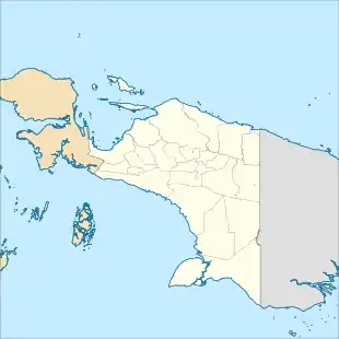
| Province | Papua |
| Regency | Jayapura Regency |
| Elevation | 308 ft (94 m) |
| Population (2010) | |
| • Total | 44,779[1] |
| Time zone | UTC+9 (Indonesia Eastern Standard Time) |

Transportation
Sentani is served by Sentani International Airport. The town is linked to Jayapura by a paved highway.
Climate
Sentani has a tropical rainforest climate (Af) with moderate to heavy rainfall year-round.
| Climate data for Sentani | |||||||||||||
|---|---|---|---|---|---|---|---|---|---|---|---|---|---|
| Month | Jan | Feb | Mar | Apr | May | Jun | Jul | Aug | Sep | Oct | Nov | Dec | Year |
| Average high °C (°F) | 30.9 (87.6) |
30.6 (87.1) |
30.9 (87.6) |
31.0 (87.8) |
31.1 (88.0) |
30.9 (87.6) |
30.5 (86.9) |
30.7 (87.3) |
31.1 (88.0) |
31.1 (88.0) |
31.2 (88.2) |
30.9 (87.6) |
30.9 (87.6) |
| Daily mean °C (°F) | 26.5 (79.7) |
26.3 (79.3) |
26.6 (79.9) |
26.7 (80.1) |
26.7 (80.1) |
26.5 (79.7) |
26.1 (79.0) |
26.3 (79.3) |
26.5 (79.7) |
26.7 (80.1) |
26.6 (79.9) |
26.5 (79.7) |
26.5 (79.7) |
| Average low °C (°F) | 22.2 (72.0) |
22.1 (71.8) |
22.3 (72.1) |
22.4 (72.3) |
22.4 (72.3) |
22.1 (71.8) |
21.8 (71.2) |
21.9 (71.4) |
22.0 (71.6) |
22.3 (72.1) |
22.1 (71.8) |
22.2 (72.0) |
22.2 (71.9) |
| Average precipitation mm (inches) | 236 (9.3) |
231 (9.1) |
262 (10.3) |
185 (7.3) |
126 (5.0) |
115 (4.5) |
101 (4.0) |
121 (4.8) |
120 (4.7) |
120 (4.7) |
163 (6.4) |
223 (8.8) |
2,003 (78.9) |
| Source: Climate-Data.org[3] | |||||||||||||
References
- "Population of Indonesia by Village: Result of 2010 Population Census" (PDF). Statistics Indonesia. Archived from the original (PDF) on 6 April 2013. Retrieved 2020-07-23.
- Badan Pusat Statistik Kabupaten Jayapura. Kecamatan Sentani Dalam Angka 2018.
- "Climate: Sentani". Climate-Data.org. Retrieved July 25, 2020.
This article is issued from Wikipedia. The text is licensed under Creative Commons - Attribution - Sharealike. Additional terms may apply for the media files.