Nabire Regency
Nabire Regency is one of the regencies (kabupaten) in Papua Province of Indonesia. It covers an area of 12,010.65 km2, and had a population of 129,893 at the 2010 Census;[2] the latest official estimate (as at mid 2019) is 150,308. The administrative centre is the town of Nabire.
Nabire Regency
Kabupaten Nabire | |
|---|---|
 Coat of arms | |
 | |
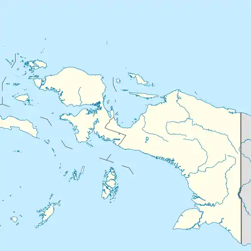 Nabire Regency Location in Western New Guinea and Indonesia  Nabire Regency Nabire Regency (Indonesia) | |
| Coordinates: 3.5402°S 135.5551°E | |
| Country | |
| Province | |
| Capital | Nabire |
| Government | |
| • Regent | Isaias Douw |
| • Vice Regent | Amurullah Hasyim |
| Area | |
| • Total | 12,010.65 km2 (4,637.34 sq mi) |
| Population (2019)[1] | |
| • Total | 150,308 |
| • Density | 13/km2 (32/sq mi) |
| Time zone | UTC+9 (Indonesia Eastern Time) |
| Area code | (+62) 984 |
| Website | nabirekab |
Administrative Districts
In 2010 Nabire Regency comprised fourteen districts (kecamatan), tabulated below with their populations at the 2010 Census;[3] a fifteenth district - Moora Islands (Kepulauan Moora) - has been added since 2010 by the splitting of Napan District, and the 2015 populations of all districts are also given below.
| District | Population 2010 Census | Population 2015 Census |
|---|---|---|
| Uwapa | 3,272 | 3,590 |
| Menou | 2,896 | 3,167 |
| Dipa | 3,913 | 4,226 |
| Yaur | 1,343 | 1,456 |
| Teluk Umar (Umar Bay) | 882 | 957 |
| Wanggar | 7,177 | 7,901 |
| Nabire Barat (West Nabire) | 10,701 | 11,642 |
| Nabire | 74,197 | 79,642 |
| Teluk Kimi (Kimi Bay) | 8,987 | 9,669 |
| Napan | 2,356 | 1,272 |
| Makimi | 5,362 | 5,944 |
| Wapoga | 981 | 1,033 |
| Siriwo | 4,653 | 4,922 |
| Yaro | 3,193 | 3,432 |
| Kepulauan Moora | - | 1,325 |
References
- Badan Pusat Statistik, Jakarta, 2020.
- Biro Pusat Statistik, Jakarta, 2011.
- Biro Pusat Statistik, Jakarta, 2011.
This article is issued from Wikipedia. The text is licensed under Creative Commons - Attribution - Sharealike. Additional terms may apply for the media files.