Ubaté Province
Ubaté Province is one of the 15 provinces in the Cundinamarca Department, Colombia.
Ubaté Province
Provincia de Ubaté | |
|---|---|
 | |
| Etymology: Ebate; "Bloodied land" | |
.svg.png.webp) Location of Ubaté Province in Colombia | |
| Coordinates: 5°18′26″N 73°48′52″W | |
| Country | Colombia |
| Department | Cundinamarca |
| Capital | Ubaté |
| Municipalities | 10 |
| Area | |
| • Total | 1,327.05 km2 (512.38 sq mi) |
| Population (2015) | |
| • Total | 122,411 |
| • Density | 92/km2 (240/sq mi) |
| Time zone | UTC−05:00 (COT) |
| Indigenous groups | Muisca |
Etymology
The name Ubaté comes from the native name "Ebate" meaning "Bloodied land" or "Sower of the mouth".[1]
Subdivision
The Ubaté Province is subdivided into 10 municipalities:[2]
| Municipality bold is capital |
Area km² |
Elevation (m) urban centre |
Population 2015 |
Founded | Map |
|---|---|---|---|---|---|
| Ubaté | 102 | 2556 | 38,809 | 1592 | 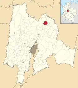 |
| Carmen de Carupa | 228 | 2600 | 9109 | 1808 | 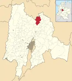 |
| Cucunubá | 112 | 2590 | 7479 | 1600 | 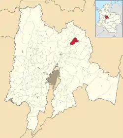 |
| Fúquene | 90 | 2750 | 5617 | 1638 | 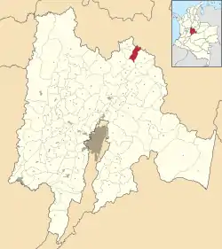 |
| Guachetá | 177.45 | 2688 | 11,385 | 1537 | 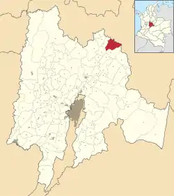 |
| Lenguazaque | 153.6 | 2589 | 10,268 | 1537 | 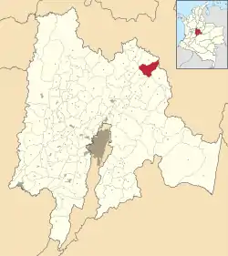 |
| Simijaca | 107 | 2559 | 13,077 | 1600 | 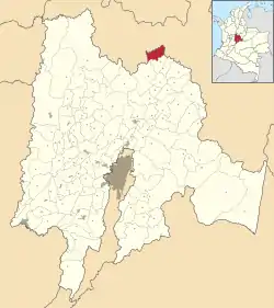 |
| Susa | 86 | 2655 | 12,302 | 1600 | 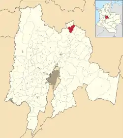 |
| Sutatausa | 67 | 2550 | 5564 | 1537 | 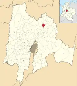 |
| Tausa | 204 | 2931 | 8801 | 1600 | 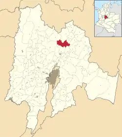 |
| Total | 1327.05 | 122,411 |
References
- (in Spanish) Official website Ubaté
- (in Spanish) Orden en las provincias de Cundinamarca - El Tiempo
This article is issued from Wikipedia. The text is licensed under Creative Commons - Attribution - Sharealike. Additional terms may apply for the media files.
