Dapu, Chiayi
Dapu Township (Chinese: 大埔鄉; pinyin: Dàpǔ Xiāng) is a rural township in Chiayi County, Taiwan. Part of the Siraya National Scenic Area, Dapu gets a major portion of its revenue from tourism. Among the birds that can be seen in the area is the fairy pitta.
Dapu Township 大埔鄉 | |
|---|---|
 Zengwen Reservoir | |
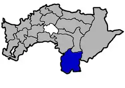 Dapu Township in Chiayi County | |
 Dapu Township 大埔鄉 Dapu Township in Chiayi County | |
| Coordinates: 23°17′40.4″N 120°35′37.4″E | |
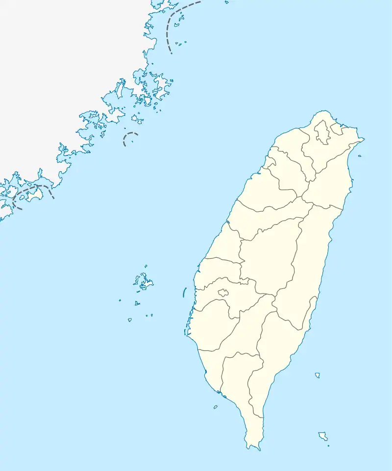
| Location | Chiayi County, Taiwan |
| Area | |
| • Total | 173 km2 (67 sq mi) |
| Population (November 2017) | |
| • Total | 4,574 |
History
Human activity is believed to have existed in Dapu since prehistoric times. Artifacts have been found in archaeological sites nearby.[1]
The Dutch East India Company started its colonization of Taiwan in 1624. When it established its presence in what is now Chiayi County in 1636, Dapu was a Tsou territory with no recorded Han Chinese activity. According to a 1647 census conducted by the Dutch, Kanakannavo, the tribe that resided in Dapu, contained 37 households (157 residents).[2]
Geography
The township has an area of 173.2472 km2 with a population of 4,574 people as of November 2017.
Administrative divisions
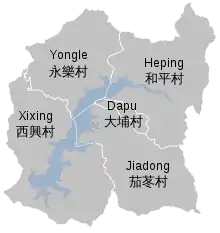
The township comprises five villages: Dapu, Heping, Jiadong, Xixing and Yongle.
Economy
A total of 5.2% of its land is used for agriculture.
Tourist attractions
Transportation
The township is served by three access roads, which lead northwards towards Fanlu and Zhongpu Townships and southwards towards Nansi District in Tainan.[3]
References
- 《嘉義縣志》〈沿革志〉. Page 23.
- 《嘉義縣志》〈沿革志〉. Pages 89-90.
- "Archived copy". Archived from the original on 2015-07-12. Retrieved 2015-07-11.CS1 maint: archived copy as title (link)
| Wikimedia Commons has media related to Dapu Township, Chiayi County. |
Cities and townships of Chiayi County | ||
|---|---|---|
| Cities | 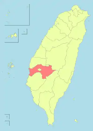 | |
| Urban townships | ||
| Rural townships | ||
| Mountain indigenous townships | ||