Haveli District
The Haveli District (Urdu: ضلع حویلی) is one of the 10 districts of Pakistan's dependent territory of Azad Kashmir. It was previously a tehsil of the Bagh District but was elevated to district status on 1 July 2009.[1] According to the 2017 census, the district has a population of 152,124.[2]
Haveli District
ضلع حویلی | |
|---|---|
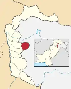 Map of Azad Kashmir with the Haveli District highlighted in red | |
| Sovereign state | |
| Dependent territory | |
| Division | Poonch Division |
| Headquarters | Forward Kahuta |
| Area | |
| • Total | 598 km2 (231 sq mi) |
| Population (2017) | |
| • Total | 152,124 |
| • Density | 268/km2 (690/sq mi) |
| Number of tehsils | 3 |
Administration
The Haveli District is divided into three tehsils:
- Haveli Tehsil
- Khurshidabad Tehsil
- Mumtazabad Tehsil
The district has 12 union councils consisting of 95 villages and one municipal corporation, Forward Kahuta.
Geography
The Haveli District is situated at a high altitude of approximately 8,000 feet above sea level. Heavy snowfall occurs regularly throughout the year. Darra Haji Peer, Lasdana, Sindhgala, Neel Kunth, Aliabad, Sheraziabad, Kalamula, Jabbi Syedan, and Mohri Syed Ali are all well known tourist locations. The Bedori Top, at 12,228 feet, is the highest peak in the district.[3]*Many people from the district have migrated abroad, and some of them serve in key positions in Pakistan. The Haveli District is bounded on the north and north-east by the Baramulla District of Indian-administered Jammu and Kashmir, on the south-east and south by the Poonch District of Indian-administered Jammu and Kashmir, and on the west by the Bagh District and the Poonch District of Azad Kashmir.
Education
According to the Alif Ailaan Pakistan District Education Rankings 2017, the Haveli District is ranked 33 out of 148 districts in education. For facilities and infrastructure, the district is ranked 146 out of 148.[4]
References
- "District Haveli (Kahutta)". Government of Azad Jammu & Kashmir. Archived from the original on 8 April 2014. Retrieved 6 July 2013.
- "Census 2017: AJK population rises to over 4m". The Nation. Retrieved 2017-09-01.
- https://www.mountain-forecast.com/peaks/Bedori-Top
- "Individual district profile link, 2015". Alif Ailaan. Retrieved 2015-05-06.
Provincial capital: Muzaffarabad | ||
| Muzaffarabad | 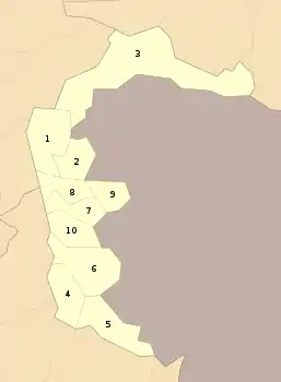 | |
| Poonch | ||
| Mirpur | ||