List of Muni Metro stations
Muni Metro is a light rail/streetcar system serving San Francisco, California, United States. Operated by the San Francisco Municipal Railway (Muni), a part of the San Francisco Municipal Transportation Agency (SFMTA), Muni Metro served an average of 166,900 passengers per weekday in the second quarter of 2013, making it the third-busiest light rail system in the United States.[1]
.svg.png.webp)
Routes:
Two subway stations, West Portal station and Forest Hill station, and five of the six light-rail lines, J Church, K Ingleside, L Taraval, M Ocean View, and N Judah, are remnants of an extensive streetcar system that survived the mass conversion to buses in the 1950s.[2] In 1980, seven subway stations, from Embarcadero station to Castro Street station, were opened with the inauguration of the Market Street subway underneath Market Street, marking the conversion of San Francisco's streetcar system into the Muni Metro.[3] In 1998, four surface stations on The Embarcadero opened, connecting the newly constructed AT&T Park (then called Pacific Bell Park) and Caltrain to Muni Metro.[4][5] In 2007, the T Third Street line was started along 18 new surface stations built along new track laid from Caltrain down the eastern side of the city to the city line.[6]
The system consists of nine subway stations and twenty-four surface stations with high-level 34-inch (860 mm)[7] platforms that allow for level boarding.[8] There are also eighty-seven surface stops[9] whose features vary anywhere between low-level platforms, traffic islands, and markers painted on nearby utility poles.[10] Four stations, from Embarcadero to Civic Center, are shared with Bay Area Rapid Transit (BART). The oldest stations are Forest Hill and West Portal, built in 1918,[11] while the newest stations were opened as part as the Third Street Light Rail Project in 2007.[6]
Subway stations
| Transfer stations with BART | |
| Transfer stations with BART/Line termini | |
| Line termini |
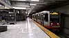
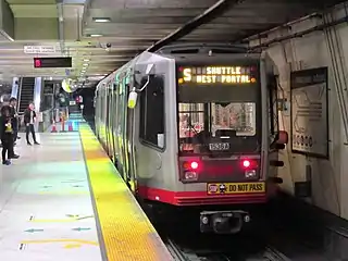
| Station[lower-alpha 1] | Image | Line(s) | Platform Layout | Year Opened |
|---|---|---|---|---|
| Castro Street | 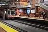 |
Side | 1980 | |
| Church Street | 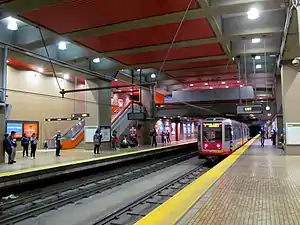 |
Side | 1980 | |
| Civic Center |
 |
Island | 1980 | |
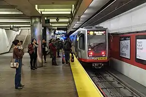
| Embarcadero |
 |
Island | 1980 | |
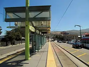
| Forest Hill | _Inbound_Platform.JPG.webp) |
Side | 1918[11][12][lower-alpha 2] | |
| Montgomery Street |
 |
Island | 1980 | |
| Powell Street |
 |
Island | 1980 | |
| Van Ness | 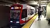 |
Island | 1980 | |
| West Portal[lower-alpha 3] | 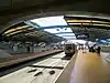 |
Side | 1918[11] |
Future stations
| Station[lower-alpha 1] | Image | Line(s) | Platform Layout | Year Opening |
|---|---|---|---|---|
| Chinatown |
%252C_August_2020.JPG.webp) |
Island | 2021 | |
| Parkmerced |
– | – | ||
| Union Square/Market Street |
 |
Island | 2021 | |
| Yerba Buena/Moscone | %252C_July_2020.JPG.webp) |
Island | 2021 |
Abandoned stations
| Station[lower-alpha 1] | Image | Line(s) | Platform Layout | Year Closed |
|---|---|---|---|---|
| Eureka Valley | 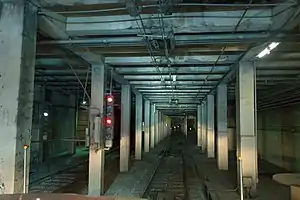 |
Side | 1972 |
Surface stations
| Transfer stations with Caltrain | |
| Line termini | |
| Transfer stations with Caltrain/Line termini | |
| Transfer stations with BART/Line termini |
| Station[lower-alpha 1] | Image | Line(s) | Platform Layout | Year Opened |
|---|---|---|---|---|
| 20th Street | 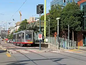 |
Side | 2007 | |
| 23rd Street |  |
Side | 2007 | |
| 2nd and King | Island | 1998[4] | ||
| 4th and King |
 |
Island | 1998[4] | |
| 4th and King |
Island | 2007 | ||
| Arleta |  |
Island | 2007 | |
| Balboa Park station |
 |
Side | 2015-2017 | |
| Brannan | Island | 1998[4] | ||
| Carroll | 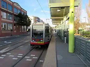 |
Side | 2007 | |
| Evans | 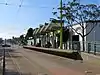 |
Side | 2007 | |
| Folsom | Island | 1998[4] | ||
| Gilman/Paul | 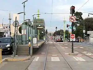 |
Side | 2007 | |
| Hudson/Innes | 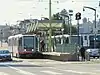 |
Island | 2007 | |
| Kirkwood/La Salle | 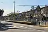 |
Island | 2007 | |
| Le Conte | 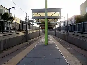 |
Island | 2007 | |
| Marin Street | 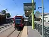 |
Side | 2007 | |
| Mariposa | 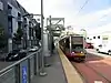 |
Side | 2007 | |
| Mission Rock | 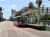 |
Side | 2007 | |
| Oakdale/Palou |  |
Island | 2007 | |
| Revere/Shafter | 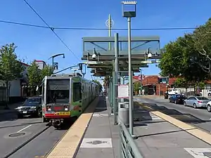 |
Island | 2007 | |
| San Francisco State University[lower-alpha 4] | 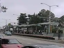 |
Island | 1993[14] | |
| Stonestown[lower-alpha 4] | Island | 1993[14] | ||
| Sunnydale |
 |
Island | 2007 | |
| UCSF Mission Bay | 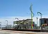 |
Island | Rebuilt 2018-2019 | |
| Williams | 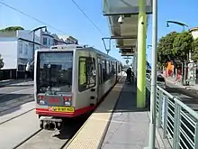 |
Side | 2007 |
Future stations
| Station[lower-alpha 1] | Image | Line(s) | Platform Layout | Year Opening |
|---|---|---|---|---|
| 4th and Brannan | 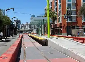 |
Island | 2021 |
Short platforms
Further stations have truncated platforms, usually with access only to one door to facilitate accessibility.[15]
| Station[lower-alpha 1] | Image | Line(s) | Platform Layout | Year Retrofitted |
|---|---|---|---|---|
| Church and 18th Street AKA Dolores Park |
c. 1982 | |||
| Church and 24th Street | ||||
| Church and 29th Street Church and Day Street |
c. 1991 | |||
| San Jose and Randall | ||||
| St. Francis Circle[lower-alpha 4] | 2010 | |||
| Junipero Serra and Ocean | ||||
| Ocean and Jules | ||||
| Ocean and Lee | ||||
| Ocean and Phelan AKA City College |
 |
1979 | ||
| Taraval and 22nd / 23rd[lower-alpha 7] | c. 1990 | |||
| Taraval and Sunset | ||||
| 46th Avenue and Wawona AKA SF Zoo |
||||
| Randolph and Arch | ||||
| Broad and Plymouth | ||||
| San Jose and Geneva |
||||
| Duboce and Church | ||||
| Duboce and Noe Street AKA Duboce Park |
||||
| Carl and Cole | ||||
| Irving and 2nd Avenue AKA UCSF Parnassus |
||||
| Judah and 9th Avenue | ||||
| Judah and 19th Avenue | ||||
| Judah and 28th Avenue | ||||
| Judah and Sunset | ||||
| Judah and La Playa AKA Ocean Beach |
- Future accessible
| Station[lower-alpha 1] | Image | Line(s) | Platform Layout | Year Expected |
|---|---|---|---|---|
| Taraval and 30th Avenue | 2018–2020 | |||
| Taraval and 42nd Avenue | 2018–2020 |
Notes
- A Muni Metro stop must have high-level platform(s) to be classified as a station.
- Forest Hill did not have high platforms before 1984.
- K and L service do not enter the underground portion of the station.
- Proposed move underground in Subway Expansion Project
- The N Judah station platform is located on the median of King Street immediately southwest of the 4th and King intersection, adjacent to the Caltrain depot. The T Third Street station platform is located on the median of 4th Street immediately southeast of the intersection.[13]
- Balboa Park station and San Jose and Geneva are adjacent to each other. Passengers must walk to transfer between these lines.
- inbound platform only
- There is a wayside lift, not a platform [16]
References
- "APTA Ridership Report - Q2 2013 Report" (PDF). American Public Transportation Association (APTA) (via: http://www.apta.com/resources/statistics/Pages/RidershipArchives.aspx ). August 2013. Archived from the original (PDF) on March 4, 2016. Retrieved September 26, 2013. External link in
|publisher=(help) - "The Muni Paradox — A Brief Social History of the Municipal Railway". Urbanist. San Francisco Planning and Urban Research Association. June 1999. Retrieved January 22, 2009.
- "Historic Streetcars". San Francisco Municipal Transportation Agency. Retrieved January 22, 2009.
- Epstein, Edward (November 4, 1997). "Muni Metro Line Set To Open in January". San Francisco Chronicle. Hearst Communications Inc. Retrieved January 22, 2009.
- Epstein, Edward (January 9, 1998). "Muni's Embarcadero Streetcar Line Set to Make First Runs". San Francisco Chronicle. Hearst Communications Inc. Retrieved January 14, 2009.
- "New T-Third Service". San Francisco Municipal Transportation Agency. Archived from the original on May 11, 2008. Retrieved January 14, 2009.
- "S200 SF Light Rail Vehicle" (PDF). Siemens. Retrieved 18 May 2016.
- "San Francisco Municipal Transportation Agency Capital Investment Plan - FY 2009-2013" (PDF). San Francisco Municipal Transportation Agency. August 15, 2008. p. 19. Archived from the original (PDF) on February 5, 2009. Retrieved January 22, 2009.
- "Muni Metro Official System Map" (PDF). San Francisco Municipal Transportation Agency. Archived from the original (PDF) on 18 November 2008. Retrieved 16 August 2011.
- "Info for New Riders: How do I find a bus stop?". San Francisco Municipal Transportation Agency. Archived from the original on July 27, 2011. Retrieved January 22, 2009.
- "West of Twin Peaks". Western Neighborhoods Project. Retrieved January 14, 2009.
- "Forest Hill Station". Western Neighborhoods Project. Retrieved January 14, 2009.
- San Francisco Municipal Railway Route Map (Map). San Francisco Municipal Transportation Agency. December 5, 2009. Archived from the original on February 23, 2013. Retrieved January 14, 2010.
- Callwell, Robert (1999). Transit in San Francisco: A Selected Chronology, 1850-1995. San Francisco: Communications Department, San Francisco Municipal Railway. p. 77. ASIN B0006RDQXK.
- "Muni Metro Accessible Stops". SFMTA. Retrieved 22 March 2016.
- "Muni Access Guide" (PDF). SFMTA. 2012. Retrieved 23 May 2019.
External links
| Wikimedia Commons has media related to Muni Metro stations. |
| Muni Metro | |||||||
|---|---|---|---|---|---|---|---|
| Muni Metro system features | |||||||
| Heritage streetcar services | |||||||
| Other Muni services | |||||||
| Projects |
| ||||||
| Miscellaneous |
| ||||||