Neponset, California
Neponset (until 1900, Martin Station)[2] is an unincorporated community in Monterey County, California.[1] It is located on the Southern Pacific Railroad and California State Route 1 between Marina and Castroville, and 8.5 miles (14 km) west-northwest of Salinas,[2] at an elevation of 23 feet (7 m).[1]
Neponset | |
|---|---|
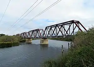 A railroad bridge over the Salinas River at Neponset | |
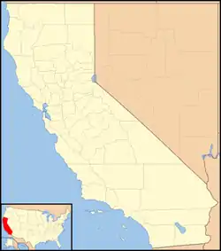 Neponset Location in California  Neponset Neponset (the United States) | |
| Coordinates: 36°43′43″N 121°47′04″W | |
| Country | United States |
| State | California |
| County | Monterey County |
| Elevation | 23 ft (7 m) |
The town is named after Neponset, Massachusetts.[2]
References
- U.S. Geological Survey Geographic Names Information System: Neponset, California
- Durham, David L. (1998). California's Geographic Names: A Gazetteer of Historic and Modern Names of the State. Clovis, Calif.: Word Dancer Press. p. 929. ISBN 1-884995-14-4.
Municipalities and communities of Monterey County, California, United States | ||
|---|---|---|
| Cities | 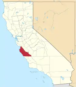 Monterey County map | |
| CDPs | ||
| Unincorporated communities |
| |
| Ghost towns | ||
| Footnotes | ‡This populated place also has portions in an adjacent county | |
| ||
This article is issued from Wikipedia. The text is licensed under Creative Commons - Attribution - Sharealike. Additional terms may apply for the media files.