Watsonville Junction, California
Watsonville Junction is an unincorporated community in Pajaro, Monterey County, California. It is named for the Union Pacific Railroad (and formerly the Southern Pacific Railroad) junction at Pajaro. It is located 1.3 miles (2.1 km) south of Watsonville and 5.5 miles (8.9 km) west of Aromas,[2] at an elevation of 33 feet (10 m).[1]
Watsonville Junction | |
|---|---|
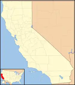 Watsonville Junction Location in California  Watsonville Junction Watsonville Junction (the United States) | |
| Coordinates: 36°53′42″N 121°44′45″W | |
| Country | United States |
| State | California |
| County | Monterey County |
| Elevation | 33 ft (10 m) |
The former passenger train station here was initially named "Pajaro" when the railway was built in 1871, but Southern Pacific changed the name to Watsonville Junction in 1913 to aide travellers unfamiliar with Spanish pronunciation.[3]
The Santa Cruz Branch Line that runs through Watsonville and Santa Cruz joins the main line at Watsonville Junction.[2]
Southern Pacific's Del Monte served the old station until service was discontinued on April 30, 1971, the day before Amtrak took over intercity passenger train service in the United States. The overnight passenger train The Lark stopped at Watsonville Junction between 1941 and 1968.
A proposed new station at this location, which would serve both Caltrain and Amtrak's Capitol Corridor trains when extended to Salinas, is under planning.
References
- U.S. Geological Survey Geographic Names Information System: Watsonville Junction, California
- Durham, David L. (1998). California's Geographic Names: A Gazetteer of Historic and Modern Names of the State. Clovis, Calif.: Word Dancer Press. p. 973-974. ISBN 1-884995-14-4.
- Gudde, Erwin Gustav (1969). California Place Names: A Geographical Dictionary. University of California Press.
Municipalities and communities of Monterey County, California, United States | ||
|---|---|---|
| Cities | 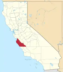 Monterey County map | |
| CDPs | ||
| Unincorporated communities |
| |
| Ghost towns | ||
| Footnotes | ‡This populated place also has portions in an adjacent county | |
| ||