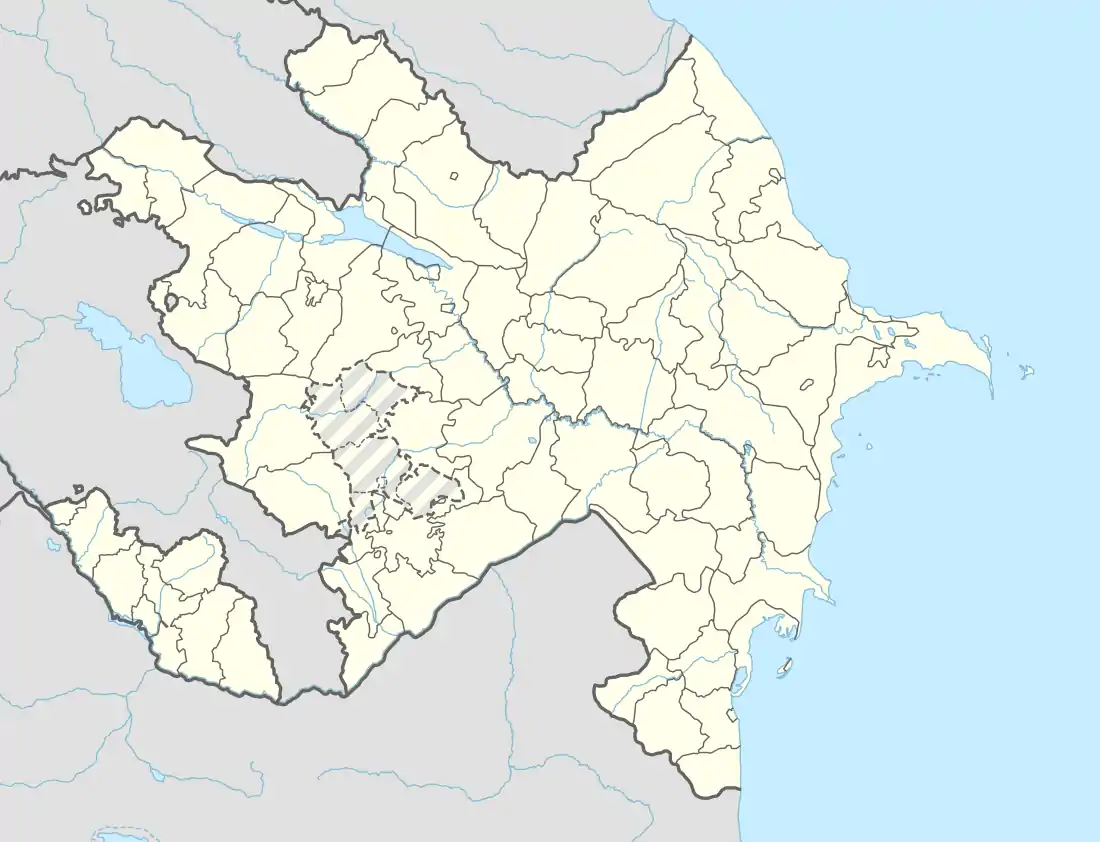
Balakən
Balakən[lower-alpha 1] (Avar: Билкан) is a city and the administrative centre of the Balakan District of Azerbaijan. The city is situated at the foot of the Great Caucasus mountains and on the Balakan river, a tributary of the Alazani River.
Balakən | |
|---|---|
City & Municipality | |
 | |
 Coat of arms | |
 Balakən | |
| Coordinates: 41°43′33″N 46°24′30″E | |
| Country | |
| District | Balakan |
| Elevation | 378 m (1,240 ft) |
| Population (2009)[1] | |
| • Total | 9,317 |
| Time zone | UTC+4 (AZT) |
| • Summer (DST) | UTC+5 (AZT) |
| Area code(s) | +994 119 |
| Website | Official website |
History
Throughout history, the city was ruled by different kingdoms and khanates. In 1918–1920, Balakən was disputed between Azerbaijan Democratic Republic and Democratic Republic of Georgia until both countries were occupied by Soviet Russia and the city became part of Azerbaijan SSR. In 1965, Balakən gained city status after the Azerbaijani government's approval.[2]
Economy
The economy of Balakən is partially agricultural, partially tourist-based, with some industries in operation.[2]
Society and Culture
Demography
The majority of the population of Balakən is ethnic Azerbaijanis. There's a significant minority of Avars, Georgians and Ingiloys. According to a 2005 survey, 85% of the population was ethnic Azerbaijani, 14% Avar, and the remaining 1% consisted of other ethnicities.[3]
Cuisine
Balakən's signature cuisine includes maxara, cüttü, chicken chigirtma and Balakən halva.
Gallery
 Central Park in the city
 View of the central park of Balakan
.jpg.webp) Nature of Balakan
Nature of Balakan Balakan Culture House
 Forest in Balakan
 Center of Azerishiq in Balakan
References
- Transliterated as Balakan, Belokan or Belokany
- "The State Statistical Committee of the Azerbaijan Republic".
- Balakan Government's Official Website Archived 2009-05-30 at the Wayback Machine (in Azerbaijani)
- "Summer Institute of Linguistics Electronic Survey Reports 2005" (PDF). Summer Institute of Linguistics Electronic Survey Reports. 2005.
.svg.png.webp)