Gədəbəy
Gədəbəy (also, Gädäbäy, Gadabay, Kedabek, Kedabeko, Kedalek, and Kyadabek) is an administrative center of Gedebey Rayon in Azerbaijan. The distance between Baku (the capital of Azerbaijan) and Gedebey is 444 km. The city has a population of 9161 according to 2010 census.[2]
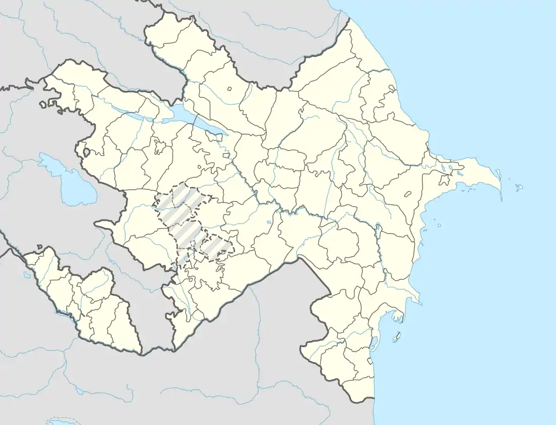
- For the administrative division, see Gadabay Rayon.
Gədəbəy | |
|---|---|
City & Municipality | |
 Gədəbəy | |
| Coordinates: 40°33′56″N 45°48′58″E | |
| Country | |
| Rayon | Gadabay |
| Elevation | 1,467 m (4,813 ft) |
| Population (2010)[1] | |
| • Total | 9,161 |
| Time zone | UTC+4 (AZT) |
| • Summer (DST) | UTC+5 (AZT) |
| Area code(s) | +994 232 |
Etymology
The name "Gedebey" comes from the name of a person named Gedebey, who settled in this region. Thus, in the Middle Ages, some of these lands were distributed among the father and sons: Atabey, Shekerbey, and Gedebey. Gedebey was the son of Atabey. There are currently villages in Atabey and Shekerbey such as Shekerbey village in Azerbaijan.
According to another possibility, the myth is formed from the words "ket", "gedik" (hill) and "bek" (guard, guardian) in ancient Turkic languages, "observation station", "guard station".
History
According to the 1989 census, about 5000 people lived in Gedebey. Gedebey, a city-type settlement, was given the status of the city in the same year.
In the middle of the nineteenth century, copper ore deposits were discovered in the region and a copper plant was built by local entrepreneurs in 1855–1856. Later this plant was purchased by the German company "Siemens" and rebuilt in 1865. The Galakend copper plant was built by Siemens in 1883 and 1879. The Trans-Caucasus gas pipeline of 28 km was constructed between Gedebey -Galakend. There were 4 locomotives and 33 wagons on this railroad. In 1883, the first hydroelectric power plant was built in the village of Galakend in the territory of Tsarist Russia and copper was melted by electrolysis in Galakend copper plant. [3]
An orthodox church, build by Georgian monk Ilarion Jashi (ილარიონ ჯაში) in Gədəbəy (then Kedabek), together with a chapel in Slavyanka village, served as a christian center of the Georgian Exarchate of the Russian Church during the XIX c.[4]
In July 2020, Gədəbəy became a site for the clashes with Armenia.[5]
Geography and climate
Gedebey lies at the northern foot of the Shahdagh Range, at an altitude of 1460 meters, on the coast of the Mis River. The city is located in the middle and high mountainous areas of the Lesser Caucasus (also called Little Caucasus). The air temperature in July is ranging from +10 C to +20 C, and in January to -2 C to -10 C.
See also
References
- The state statistical committee of the Azerbaijan Republic
- "WESTERN ROUTE: BAKU - HAJIGABUL - KURDEMIR - YEVLAKH - TERTER - NAFTALAN - GANJA - GOYGOL - DASHKESEN - SHEMKIR - GEDEBEY - TOVUZ - AGSTAFA - GAZAKH".
- "Gadabay".
- Duxovnii Vestniki Gruzinskago Ekzarxata, Tiflis, 1899, N18, p. 2
- Harutyunyan, Sargis; Danielyan, Emil. "Armenia-Azerbaijan Border 'Calm' After Deadly Clashes". azatutyun.am. RFE/RL. Archived from the original on 5 August 2020. Retrieved 5 August 2020.
...the border between Armenia’s northern Tavush province and the Tovuz district in Azerbaijan, the scene of the clashes.
External links
- Gədəbəy at GEOnet Names Server
- World Gazetteer: Azerbaijan – World-Gazetteer.com
.svg.png.webp)