Bouldin Island
Bouldin Island is an island in the Sacramento-San Joaquin River Delta in San Joaquin County, California, 20 kilometers (12 mi) northwest of Stockton on the Stockton Deepwater Shipping Channel.
.png.webp) USGS aerial imagery of the island. | |
Bouldin Island 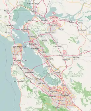 Bouldin Island  Bouldin Island  Bouldin Island | |
| Geography | |
|---|---|
| Location | Northern California |
| Coordinates | 38.104086°N 121.534675°W |
| Adjacent bodies of water | Sacramento-San Joaquin River Delta |
| Area | 5,900 acres (2,400 ha) |
| Administration | |
| State | |
| County | San Joaquin |
Geography
.jpg.webp)
The 2,400 ha (5,900-acre) island is bounded to the north by South Mokelumne River which separates the island from Staten Island. To the east, the island is bounded by Little Potato Slough, to the south by Potato Slough, and to the west by the Mokelumne River.
State Route 12 crosses the northern section of Bouldin Island, which is also called Kettleman Lane on the island.
A swing bridge over the Mokelumne River on SR 12 connects the northwestern part of the island to Andrus Island. Near the northeastern tip of Bouldin Island, a high-level bridge on SR 12 spans Little Potato Slough connecting the island to Stockton, California.
See also
References
Map: Islands of Suisun Bay and the Sacramento–San Joaquin River Delta | |
|---|---|