Freeman Island (California)
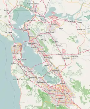
Freeman Island is a small island in Suisun Bay, California. It is part of Solano County. It is also known as Holbrook Island.[1] Its coordinates are 38°04′46″N 121°59′09″W[1].
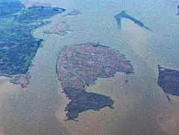
 Ryer Island is the large, dolphin-shaped island in the center of this aerial photo. Directly above it and to the left is Freeman Island; above Freeman Island is Snag Island. On the right, partially out of the frame of the image, is Roe Island. | |
 Freeman Island  Freeman Island  Freeman Island  Freeman Island | |
| Geography | |
|---|---|
| Location | Northern California |
| Coordinates | 38°04′46″N 121°59′09″W[1] |
| Adjacent bodies of water | Suisun Bay |
| Administration | |
| State | |
| County | Solano |
References
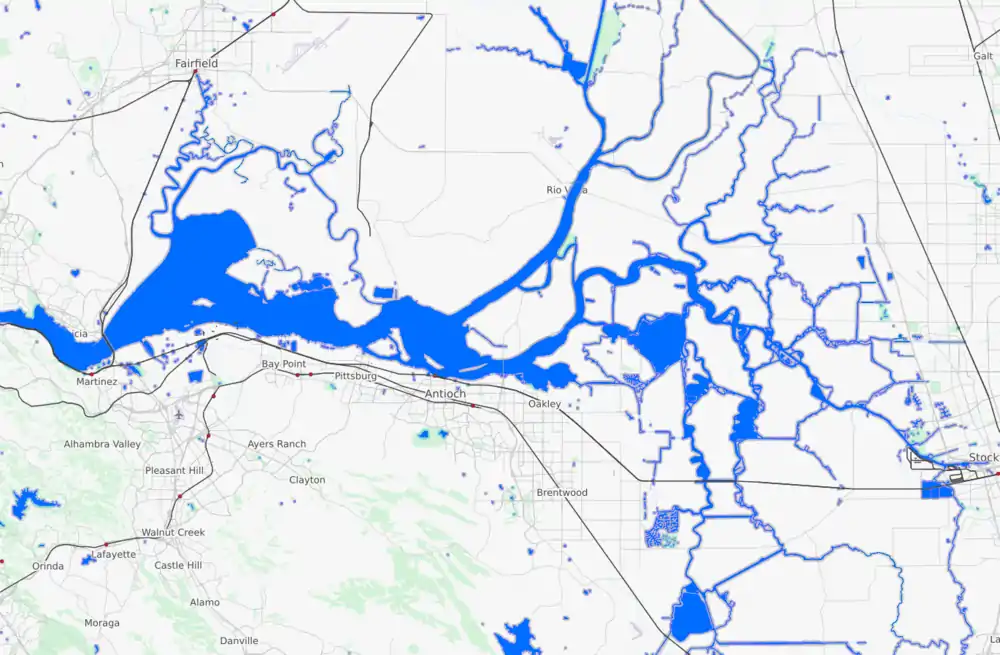
Map: Islands of Suisun Bay and the Sacramento–San Joaquin River Delta | |
|---|---|
 |
| Counties | |||||
|---|---|---|---|---|---|
| Cities and towns | |||||
| Islands |
| ||||
| Waterways |
| ||||
| Other features | |||||
| Water supply infrastructure | |||||
| Designated areas |
| ||||
This article is issued from Wikipedia. The text is licensed under Creative Commons - Attribution - Sharealike. Additional terms may apply for the media files.
