Mandeville Island
Mandeville Island is an island in the Sacramento–San Joaquin Delta located about 15 miles (24 km) northwest of Stockton, in central California in the United States. The island covers about 5,500 acres (2,200 ha), and lies between the Old River to the west and Middle River to the east, both distributaries of the San Joaquin River-Stockton Deepwater Shipping Channel. The Connection Slough forms the island's southern end, and Sand Mound Slough borders the island to the north. The island lies directly to the east of Franks Tract State Recreation Area.
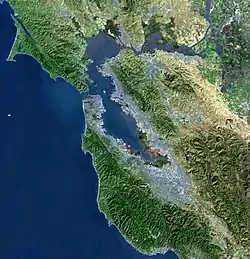
.png.webp) USGS aerial imagery of the island. | |
Mandeville Island  Mandeville Island  Mandeville Island | |
| Geography | |
|---|---|
| Location | Northern California |
| Coordinates | 38°02′05″N 121°32′56″W |
| Adjacent bodies of water | Sacramento-San Joaquin River Delta |
| Area | 5,500 acres (2,200 ha) |
| Administration | |
United States | |
| State | California |
| County | San Joaquin |
See also
External links
Map: Islands of Suisun Bay and the Sacramento–San Joaquin River Delta | |
|---|---|
This article is issued from Wikipedia. The text is licensed under Creative Commons - Attribution - Sharealike. Additional terms may apply for the media files.